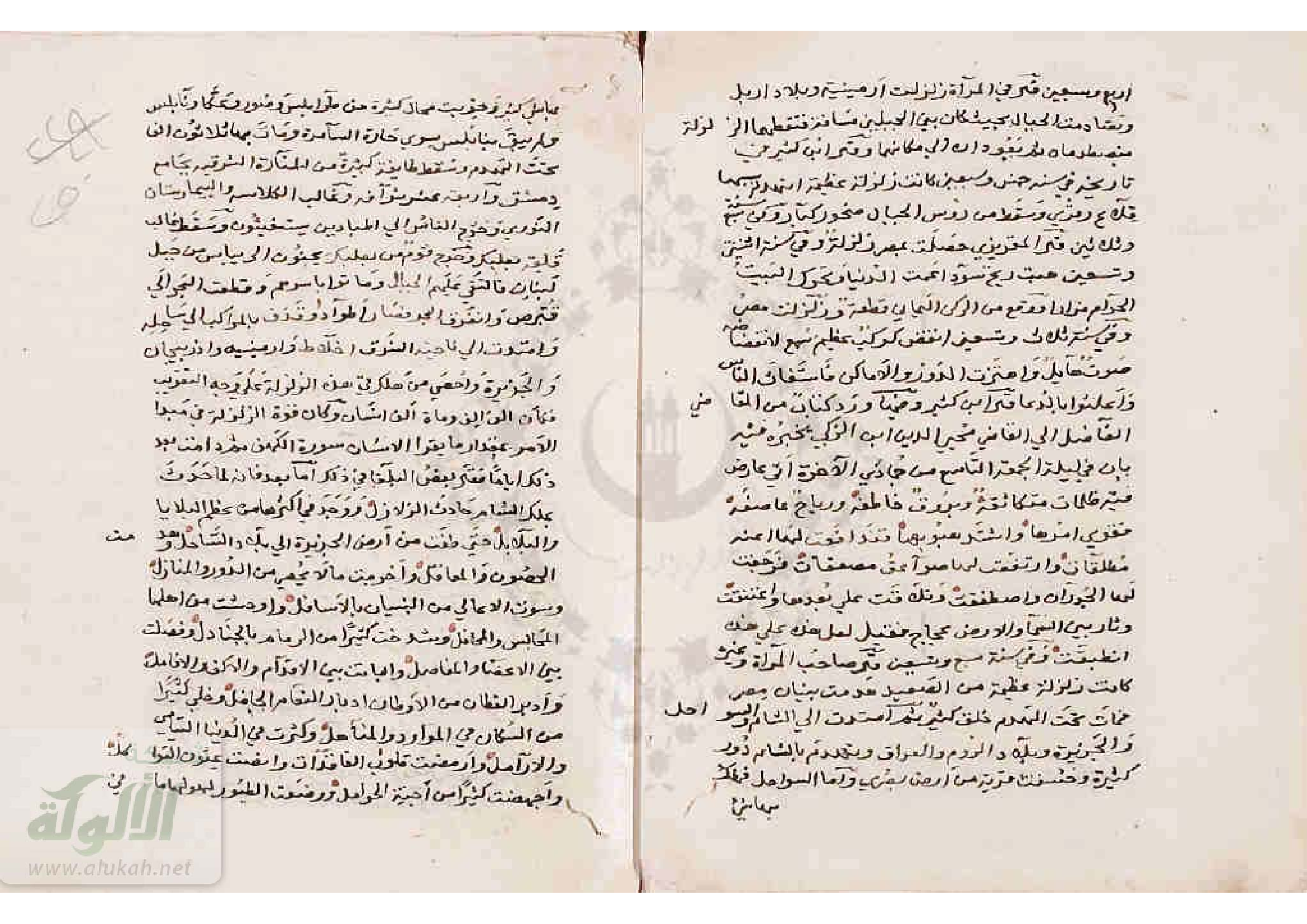
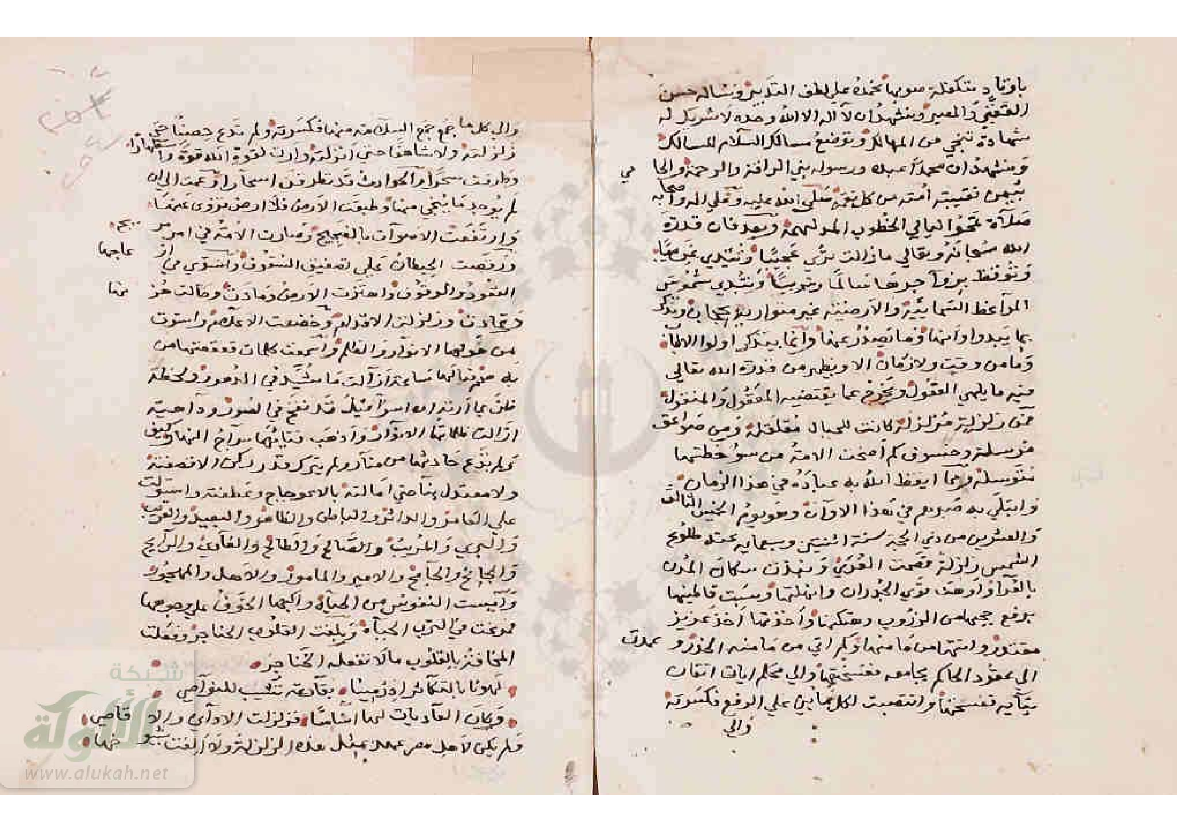
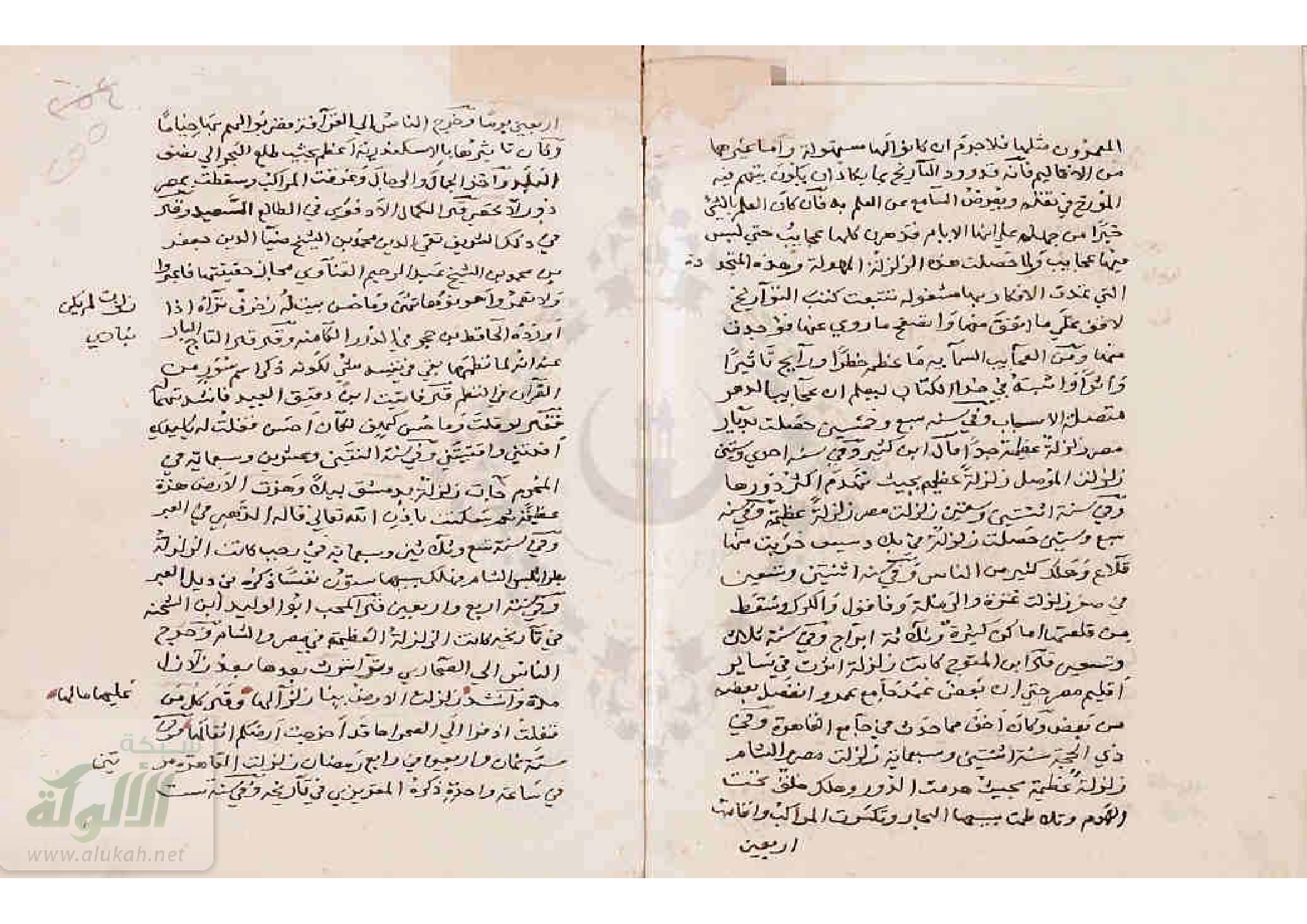
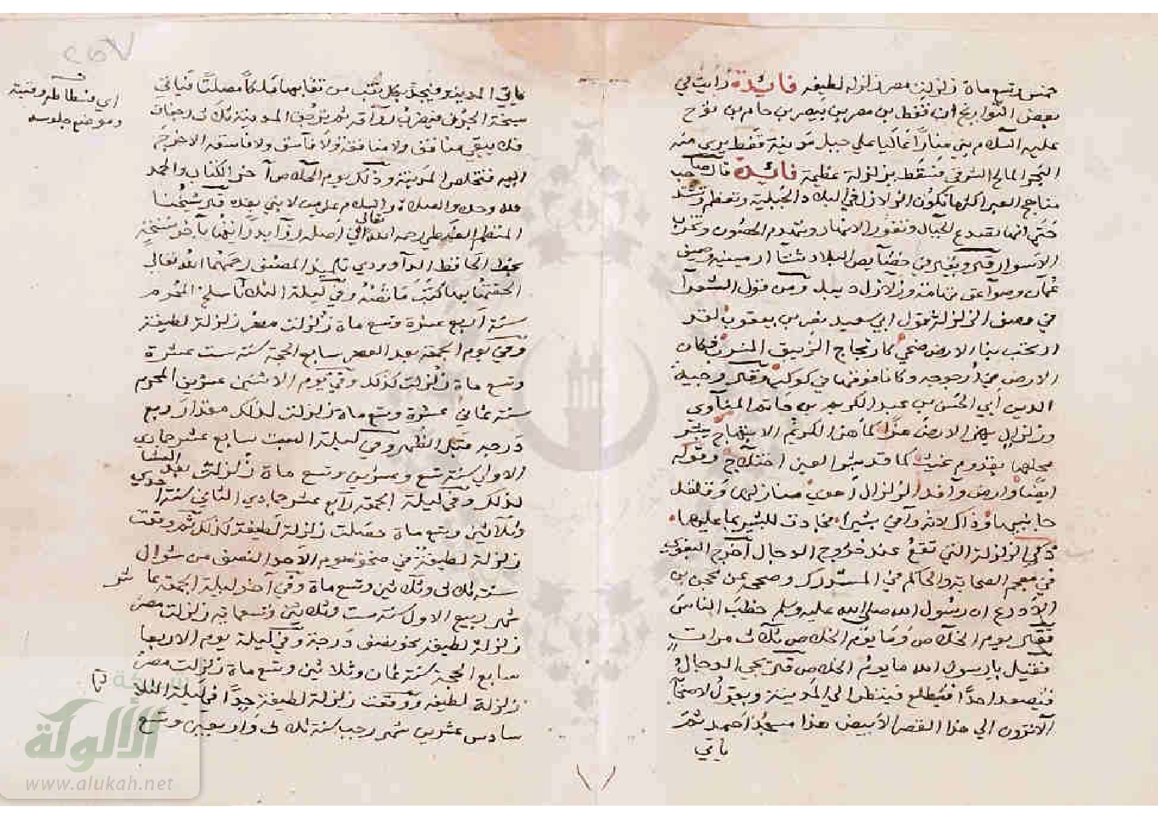
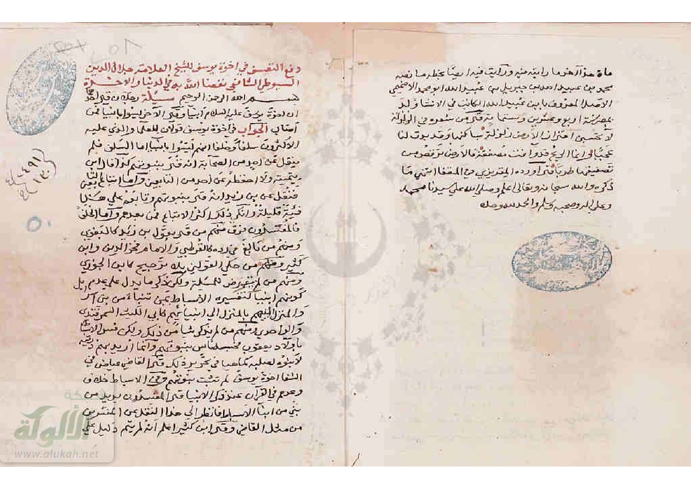
A large earthquake in the Gulf of Aqaba and the Hejaz in
northwest Arabia occurred during the morning of Tuesday
18 March 1068. It is said that Aila (Eilat), at the head of the
Gulf of Aqaba, was completely destroyed with all but 12
of its inhabitants. In Tabuk, three new springs of water
appeared at a place called al-Qur, and in Taima the
ground was split open. Near here a permanent and productive
spring of water gushed out.
The earthquake was felt at Wadi al-Qura,
Khaibar, al-Marwa, Medina, where the shock brought
down two decorative crestings of the mosque of the
Prophet, and Wadi al-Safra, Badr and Yanbu', to the
southwest of Medina. In Sinai, the earthquake was strong
enough to cause alarm at the monastery of St Catherine.
There is some archaeological evidence to suggest earthquake
damage at the citadel of Amman in Jordan, possi-
bly from this event.
The shock was also experienced in Egypt, where
Tinnis apparently suffered some damaged, but not in
Alexandria. In Cairo, the only damage reported was to
one corner of the mosque of `Amr in Fustat. Water rose in
wells in Egypt and Palestine, and the retreat and return of
the sea on the Mediterranean coast of Palestine drowned
a large number of people.
The earthquake was felt as far as al-Rahba and al-
Kufa on the Euphrates in Iraq, the water of which was
reported to have overtopped its banks; it was also felt in
Baghdad. Two more shocks followed within an hour.
The epicentral area of this event must be sought
in the Gulf of Aqaba.
This Aqaba-Hejaz earthquake of 18 March 1068
is generally reported together with a separate, locally
destructive shock that affected Palestine two months later
on 29 May 1068 and the two events are amalgamated into
a single very large earthquake, the destructive effects of
which extended from Aqaba to Baniyas, a distance of
400 km.
Because of the complexity of the source material
the two earthquakes will be discussed together here.
Abu Ali ibn al-Banna, a contemporary diarist,
provides the earliest description of the earthquake of
May, from Damascus. He records the arrival of news
early in August 1068 (Shawwal 460 a.H.) of an earthquake
in Palestine on 29 May 1068 (24 Rajab 460 a.H.)
which destroyed al-Ramla with the exception of two
houses and killed 15 000 people. In Jerusalem the Rock
split in two and then closed up again, and the sea 'sank'
for a day and night, and people who entered it were
drowned when it rose again. However, he does not say
that the shock was felt in Damascus.
Further down his diary Ibn al-Banna records
the arrival of news that there was another earthquake
in Medina in Arabia, on Tuesday 18 March 1068
(11 Jumada 460 a.H.), which brought down two men
Ions from the minaret of the Prophet's Mosque, causing
some concern. The earthquake extended to Wadi al-
Safa, al-Marwa, Khaibar, Wadi al-Qura, Taima, Tabuk
and Aila. In Aila only 12 people who had gone out fishing
survived. At Taima, the earthquake caused the ground
to open up, disclosing 'treasures', and a second spring of
copious flow of water appeared, while at Tabuk more
springs burst forth. Later, members of a caravan, who
had experienced it personally, confirmed the facts he was
given about this event. Wadi al-Safa must be equated with
Al-Safra near Medina; and al-Marwa refers to Dhu al-
Marwa in Wadi al-Qura. He adds that he himself in Damascus
experienced a slight earthquake in March 1068.
Ibn al-Banna goes on to repeat the information
he had already attributed to the earthquake of 29 May
and then contradicts himself by saying that the effects
of the earthquake of 18 March subsided, beyond Surair
of Hijaz (a Wadi near Medina; Yaqut iii. 88), in most of
Syria up to al-Ramla (al-Maqd. 1956, 248, 250-251, 256;
Gil 1992, 408).
Ibn al-Qalanisi, a mid-twelfth-century author,
provides a description of the earthquake of March 1068
in Palestine, but he says nothing about the earthquake in
Arabia (Ibn al-Qalanisi, 94). According to his account, a
great earthquake affected Palestine on Tuesday 10 (sic.)
Jumada I, 460 a.H. (Monday 17 March 1068), destroying
most of the houses and walls in al-Ramla, and damaging
its mosque. Most of the population perished beneath
the wreckage. It is also related that a teacher was in
his school with about 200 boys when the school fell on
them. No one asked for news of them, because their
families had all perished. Also, water rose up from the
mouth of the wells from the violence of the earthquake.
About 100 people were killed in Baniyas and likewise in
Jerusalem. The essence of this account was used by later
authors. It should be noted, however, that other sources
give the date of 11 Jumada I, which was correctly a
Tuesday.
Azimi, another author writing about 100 years
after the event, also mentions only the earthquake that
damaged houses in Palestine and al-Ramla and the fact
that after the earthquake the water rose in wells (al-
Azimi, 358),
A later account by Imad al-Din (in al-Bundari,
34), merely mentions an earthquake in Palestine in
Jumada I, 460 a.H., which destroyed districts and demolished
buildings. Then, Ibn al-Jauzi (viii, 248), a late-twelfthcentury
author writing in Baghdad, amalgamates the
effects of the two earthquakes. In addition to the destruction
of Ramla, he mentions that the shock brought down
two decorative crestings of the mosque of the Prophet
in Medina, and reached as far as Wadi al-Safra and
Khaibar, where the ground split to reveal 'its buried treasures'
. The shock was felt as far away as al-Rahba and
Kula, on the Euphrates. This author then quotes a letter,
which came to Baghdad from some merchants. The
earthquake, according to this letter, caused the whole of
Ramla, with the exception of two streets, to be swallowed
up and 15 000 people to perish. The dome of the Rock
in Jerusalem opened up and then closed again. The sea
receded a distance equivalent to a day's journey and then
came back over the dry land 'and destroyed the whole
world'. The people went down onto the seabed to pick
around; the sea rushed back over them and drowned a
large number of them, a description identical to that used
for other earthquakes to describe seismic sea waves and
probably suspect. There is no indication of where this
happened.
However, in a different account Ibn al-Jauzi (viii,
256) seems to separate the two earthquakes by giving a
different date and account of the event, with some additional
information, under the year 462 a.H., dating the
earthquake to the third hour of Tuesday 11 Jumada I
a.H. 462 (Thursday 25 February 1070). This earthquake,
he says, affected al-Ramla and its districts, destroying
most of it and demolishing its walls. The shock was general
in Jerusalem and Tinnis (sic.). Aila was completely
destroyed. The author then briefly mentions again the
withdrawal and return of the sea, which may indicate that
this happened in the Gulf of Aqaba, and concludes with
the statement that the corner of the mosque of `Amr in al-
Fustat was spoiled. Two other shocks followed the earthquake
almost immediately.
Certain elements of Ibn al-Jauzi's account clearly
date back to the contemporary author, Ibn al-Sabi, who
is specifically quoted, together with Ibn al-Athir, by the
fourteenth-century Syrian author, al Dhahabi (fol. 4b).
al Dhahabi claims that he was informed by an Alawi,
who was in the Hejaz, that the earthquake occurred
there at the same time, which was Tuesday 11 Jumada
I, and threw down two crestings from the Mosque of the
Prophet; the ground was split open at Taima to reveal
gold and a spring of water gushed there. He states also
that Aila was destroyed with those who were in it, and in
Tabuk three springs appeared. He says this all happened
at the same time.
These earliest reports contain all the essential
details about the earthquake, later authors such as Ibn
al-Athir (x. 57) merely confirming that it affected both
Palestine and Egypt, and repeating the details about the
water rising in the wells and the retreat and return of the
sea. This author also refers to the fissuring of the Dome
of the Rock in Jerusalem, and gives the number of casualties
in Ramla as 25 000 (sic.). His account is followed by
Abu'l-Fida (iii. 186).
Another independent, but not very -detailed,
mid-thirteenth-century account, by the continuators of
Sawirus (227, Arabic text f. 182), dates the earthquake
early on a Tuesday morning, on the second day of Easter
week. This fits for 1068, and the time of the day agrees
with the statement that the earthquake occurred at about
the third hour (Ibn al-Jauzi, viii. 256). Sawirus says that
many places were overthrown in al-Ramla, Tinnis and
elsewhere, but that the shock had little effect in Alexandria.
The date finds further confirmation in the fact that
Sawirus mentions that the earthquake was followed by
an epidemic in Egypt, which is not widely mentioned in
other sources (Ibn al-Dawadari, vi. 387), but may have
been the result of the food scarcity that is fully documented
(Ibn Muyassir. 19; Ibn Zafir, 74-75). Tinnis was
depopulated, and Ramla became deserted as a result of
the epidemic. Al-Maqrizi also mentions that Ramla was
destroyed and not restored afterwards (al-Maqrizi, Khitat,
i. 337, ii. 277).
Additional evidence of the severity of the earthquake
in al-Ramla is given by Ibn Shaddad, who says that
the city was a great centre to which merchants flocked
until the earthquake of 10 (sic.) Jumada I 460 a.H., which
erased all traces of it. The inhabitants, he says, moved to
Jerusalem, which suggests that Jerusalem itself was not
badly damaged by the earthquake (Ibn Shaddad, 182).
The late-fifteenth century Egyptian author, Ibn
Taghribirdi (ii/2.239), has a less detailed version of this
passage in the year 459 a.H., which is too early.
These authors also refer to the scarcity of food in
Egypt, which continued till 461 a.H., or even later (al-
Maqrizi, Khitat, i. 337, ii. 277). Much of Ibn al-Sabi's history
is preserved verbatim in Sibt ibn al-Jauzi's Mirat al
zaman.
Many later fourteenth-century sources follow Ibn
al-Jauzi's reference to the earthquake under both 460 and
462 a.H., with more or less faithful reproductions (al-
Nuwairi, iv. 140, 141; Ibn Kathir, xii. 96, 99; Ibn al-Imad,
iii. 308, 309).
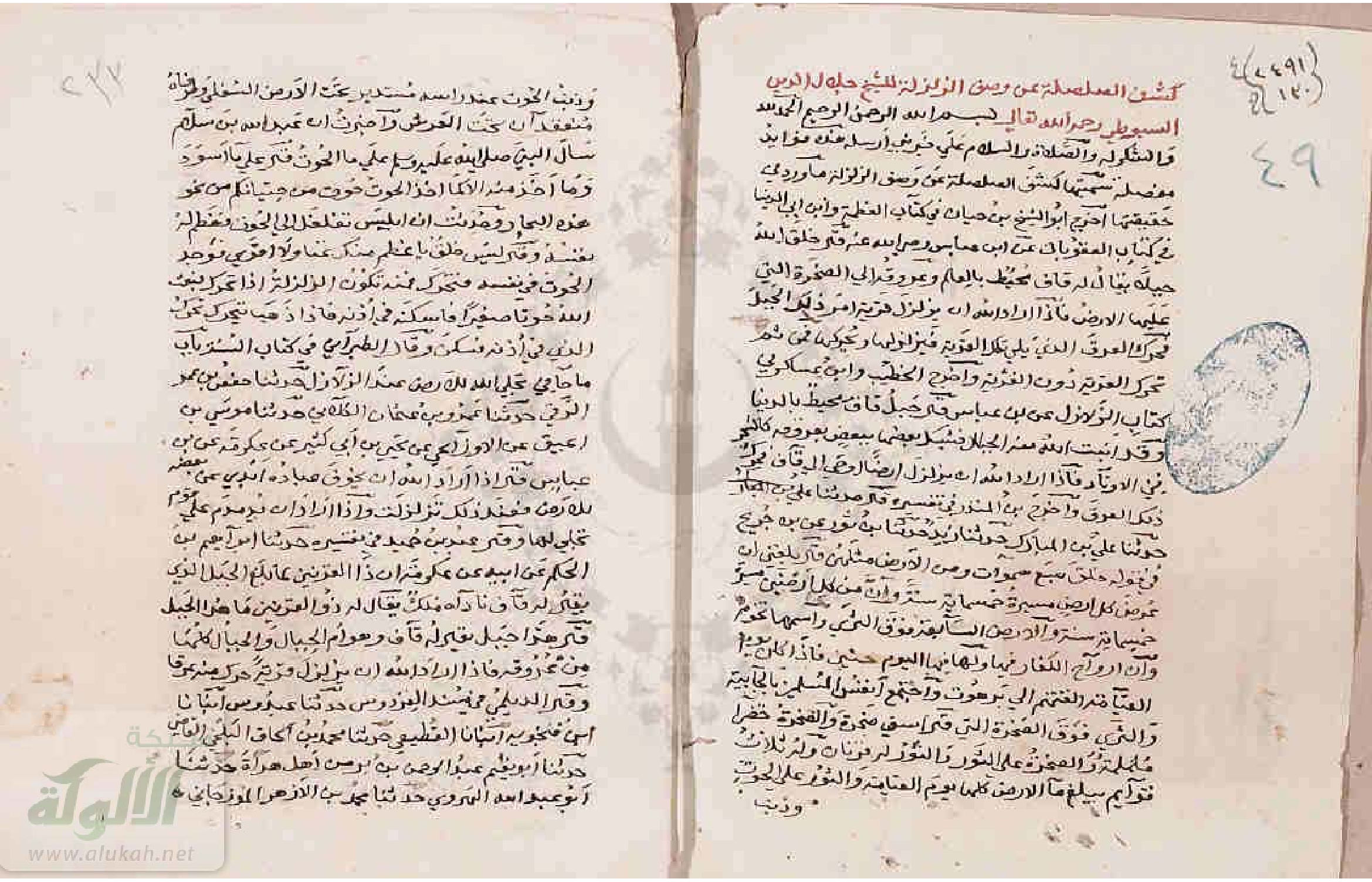
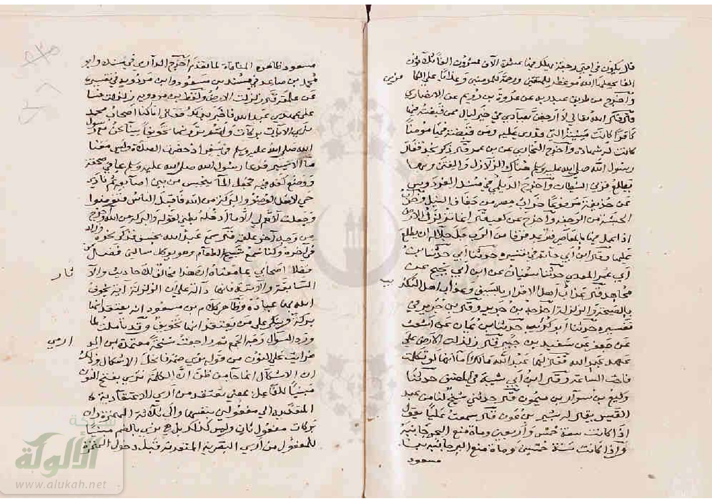
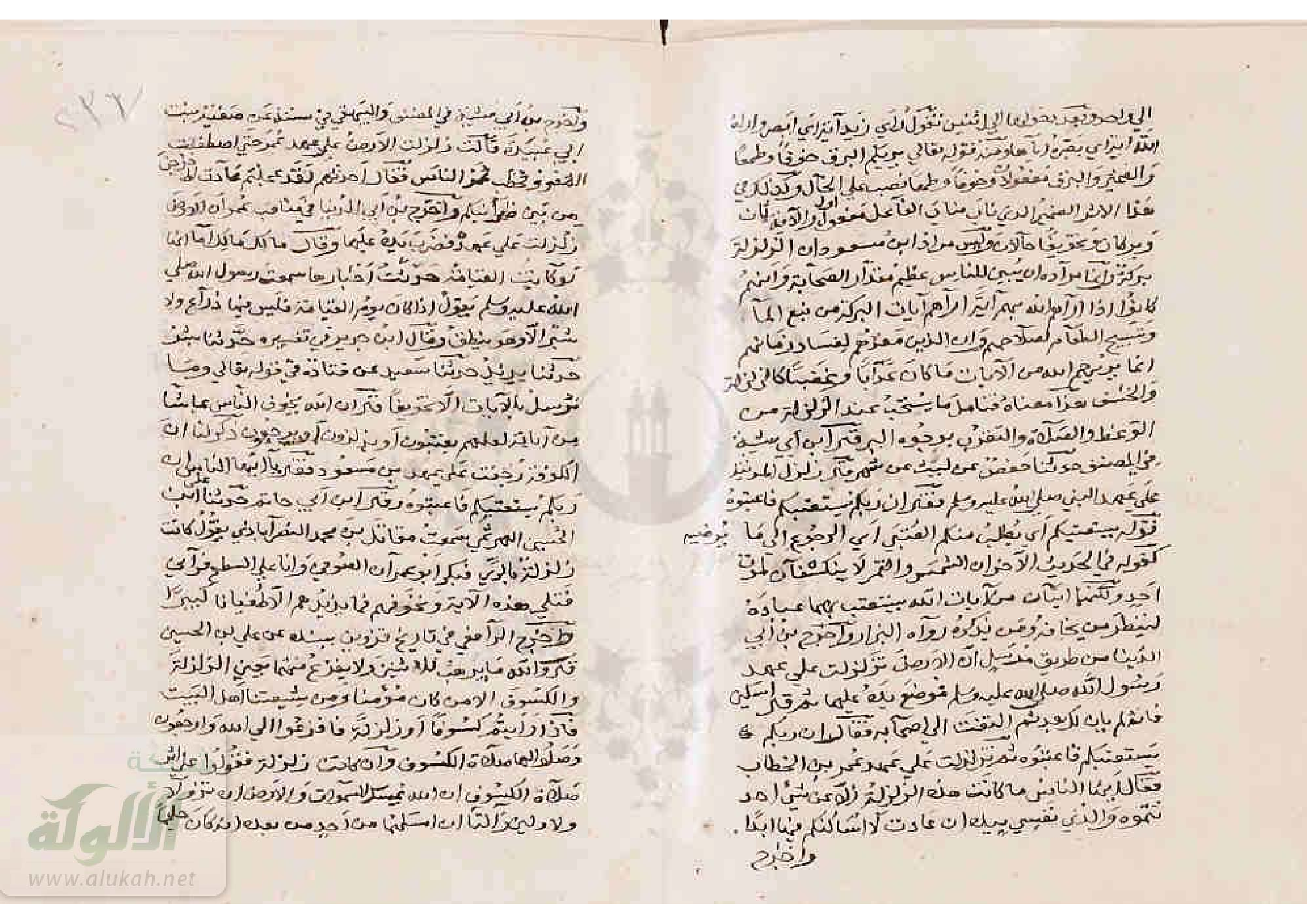
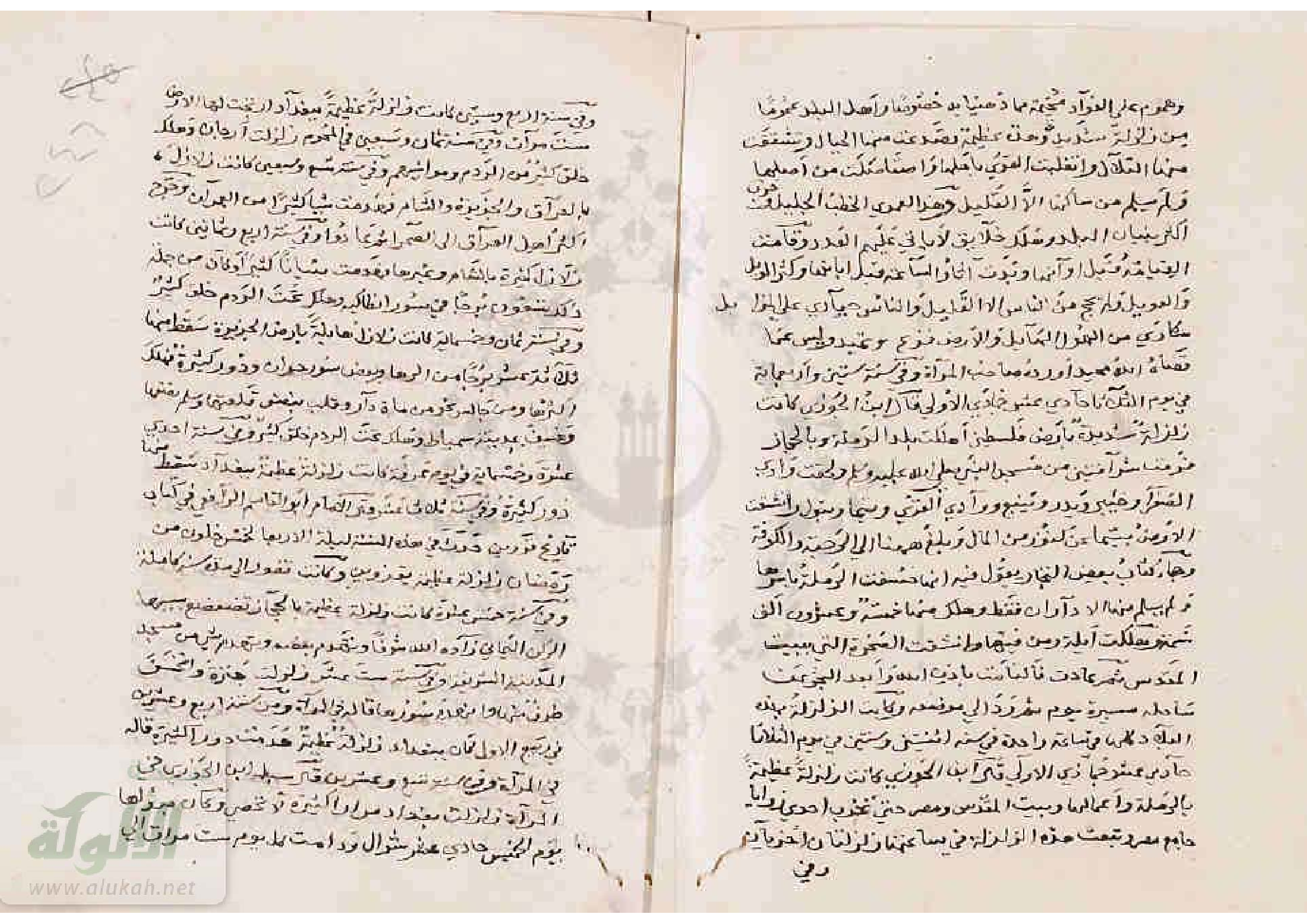
A much later, late-fifteenth-century source, Al-
Suyuti, who also quotes directly from Ibn al-Jauzi, adds
Badr, Yanbu, Wadi al Qura, Taima and Tabuk to the list
of places mentioned in Arabia (al-Suyuti, kashf 34-35).
There is room to suggest that an independent, but
problematic, account from the Monastery of St Catherine
in Sinai refers to this earthquake. An anonymous author
mentions that late in the eleventh century earthquakes
strong enough to cause the Egyptian army to abandon
the area they had just captured were felt in the monastery
(Anon. 1817, 125; Eckenstein 1921, 144-145). This allows
the possibility that this earthquake occurred in 1068, but,
even if this is not the case, it is unlikely that the earthquake
referred to in this section was not also experienced
in St Catherine's.
Numerous later authors merely have a brief
account of the shock in al-Ramla, of the water rising in
the wells and of the sea flooding a coast that is not named
A description of Jerusalem mentions the fall of a
great lantern with 500 lights in it, from the roof of the
Dome of the Rock, in 452 a.H. (AD 1060; Jamal al-Din
sub ann.). Le Strange notes that no earthquake is mentioned
for this (Le Strange 1890, 130). Either the lantern
fell through some other cause or the source makes a dating
error. It does not refer to the earthquake of 460 a.H.
(1068), which caused the Dome of the Rock to open and
close. A much later writer, al-Ulaimi, copies Jamal al-
Din's account of the fall of the lantern in 452 a.H., and
then mentions the earthquake in 460 a.H., following the
standard account of Ibn al Athir, implying two separate
events, but he is too late a source for this to be conclusive
(al-Ulaimi, al-Uns, i. 270). There is no evidence to suggest
that the Dome of the Rock was in fact damaged by
the 469/ 1068 earthquake (Creswell 1932; 1940, 172-176).
The earliest source, Ibn al-Banna, clearly suggests
two earthquakes, the first of which occurred in Palestine,
the effects of which became known immediately, and a
second earthquake, which occurred two months earlier in
the far-off regions of the Gulf of Aqaba and Hijaz, news
of which arrived in Palestine after the occurrence of the
first event.
If it is assumed that this is the case, then the first
earthquake occurred in March 1068 and originated in the
Gulf of Aqaba. A second earthquake, two months later,
namely in May 1068, originated in Palestine. Minor errors
in dating (e.g. 10 or 11 Jumada I; 459 instead of 460 a.H.)
are of little consequence. What is significant is that a single
earthquake in the region of the Dead Sea fault zone
is unlikely to produce damage effects such as those portrayed
in the historical sources.
The first earthquake was felt over a very large
area, from Medina in the south to Cairo in the west,
Rahba and Kufa in the east and at least as far north
as Damascus, within a radius of about 600 km, clearly
a large-magnitude event. In the very sparsely inhabited,
almost desert region along the southernmost part of the
Dead Sea fault zone and its extension offshore, where the
available evidence situates its epicentral region, information
about the few inhabited villages, even had they been
destroyed, would not have attracted much attention.
The destruction of Aila and the reported ground
deformations in the region of Tabuk, which are of
unknown origin, but significant enough to be reported,
suggest that the epicentral region was in the Gulf of
Aqaba.
Aila was occupied from about the middle of the
seventh century to about the early part of the twelfth century.
Archaeological data suggest earthquake damage,
possibly due to the 1068 earthquake, but the evidence is
very tenuous (Whitcomb 1997).
Palaeoseismic data suggest that the Aqaba strike-slip
fault emerges from the Gulf and appears to cross the
seventh-twelfth-century-AD Islamic walled city of Aila,
terminating under the city, indicating repeat movement
with the last scarp forming sometime between 1045 and
1278 (Niemi and Mansoor 2002).
An alternative interpretation would be that these
ground deformations occurred near the main pilgrim
route to Mecca, hence the survival of information, but
not near an important urban area. Unfortunately this
region lacks urban centres, whose destruction would have
attracted attention, but the evidence supports the hypoth-
esis of an epicentral location to the south, along the
southern terminus of the Dead Sea fault through the
Aila region or to the east of it (Ambraseys and Melville
1989, 1279). This area is not only more centrally located
within the total area where the earthquake was reported
as being felt but also could be associated with known
active tectonics.
More recently, on the evidence of existing data
but without any better justification, the epicentre of the
1068 earthquake has been placed on the Dead Sea fault,
at 29.8° N and 35.0° E (Klinger et al. 2000).
In the second earthquake damage was concentrated
on al-Ramla, and the reports of casualties in
Jerusalem and Baniyas indicate that the epicentral region
must have been in Palestine, affecting a very small
area, which in turn implies an event of relatively small
magnitude.
It is primarily the consideration of the damage
reported, rather than the dates given, that raises the problem
of the location of the earthquake(s). Heavy damage
to Ramla seems unambiguous in the Arabic sources, and
lesser damage to houses, sufficient to kill about 100 people,
occurred in Jerusalem and Baniyas, which would suggest
an epicentral region in this area. The occurrence of
the seismic sea wave, which can be assumed to have been
in the Mediterranean Sea, does not necessarily indicate
the epicentral region, but rather the region where there
were vulnerable submarine slopes that could produce a
flow slide as occurred in the on-land 1202 earthquake
(Ambraseys and Melville 1988), and thus does not seem
to confirm this.
Several objections arise, however, with regard to
seeking the epicentral area of a shallow-depth earthquake
of magnitude large enough to be associated with
a radius of perceptibility of 600 km in the vicinity of al-
Ramla.
In the first place, more reports should have been
available from the region to the north, beyond Baniyas,
which was Byzantine territory. None of the contemporary
and near-contemporary Byzantine historians, however,
writing between 1070 and 1120, such as Psellos, Xiphilinos,
Manesses, Scylitzes, Attaliates, Glycas and Zonaras,
mentions the earthquake (Psellos; Manesses CSHB
127, 219-472; Scylitzes I. CSHB 641-744; Attaliates M.
CSHB 1853; Glycas M. CSHB 1836; Zonaras J. PG
134-135).
Furthermore, Syrian and Armenian writers, such
as Matthew, Samuel and Michael the Syrian, writing during
the same period, who describe in some detail the situation
in south-eastern Anatolia and northern Syria during
this period, make no reference to an earthquake there in
the 1060s.
Secondly, there is some indication that the damage
in al-Ramla has been grossly exaggerated, particularly
the loss of life, which is estimated in various sources
to range from 15 000 to as many as 25 000, since correspondence
between leaders of the Jewish communities in
Ramla and Jerusalem appears to include no references to
a major calamity in the 1060s (Mann 1920, i. 162-163).
It is possible that the seemingly exaggerated
description of the earthquake in al-Ramla in Muslim
sources echoes the earlier destruction of 1033, and refers
to the later effects of famine and epidemic, which also
affected Egypt (see Ibn al-Muyassir. 35; Ibn Zafir 74-75,
who make no reference to the earthquake).
The disparity in reported damage between al-
Ramla and Jerusalem, only two days march or 38 km
apart, even if broadly accurate, cannot be explained by
invoking the occurrence of a relatively small, locally damaging
earthquake in this part of Palestine. This would be
incompatible with the evidence of the effects of the earthquake,
which reached as far south as Medina and only
as far north as Baniyas, 950 and 100 km from al-Ramla,
respectively.
The absence of information from Damascus and
Aleppo to the north and the silence of contemporary
Byzantine historians argue against the 18 March 1068
earthquake having had an epicentre near al-Ramla.
It would seem therefore, that the account of the
destruction of al-Ramla, which is well attested by several
reliable Arab chroniclers, must either be considered as an
exaggeration, bringing it simply within the area of minor
damage by a large earthquake to the south, which is not
feasible, or accepted at face value, which would require a
separate, locally damaging shock of a very much smaller
magnitude than that of the March 1068 earthquake in its
immediate vicinity. There is little doubt, therefore, that the May 1068
earthquake was a local event of relatively small magnitude
in Palestine.
