Aqaba Trenches
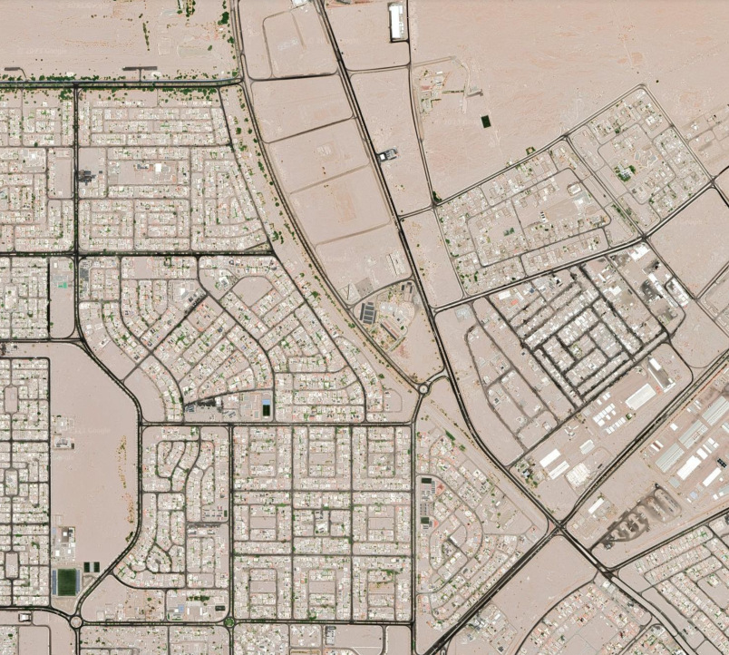
 Aqaba Trenches Area in Aqaba city in Google Earth
click on image to explore this site on a new tab in Google Earth
- from Aqaba/Elat - Introduction - click link to open new tab

Fig. 2
Map of the city of Aqaba showing the location of major archaeological sites. Active cross faults (CF) mapped from aerial photos and in the archaeological excavations of J-East are also shown (Thomas et al., 2007).
Niemi (2011)

Fig. 3
Trench log of the north wall of AQ-1 excavated across the cross fault 4 (Mansoor, 2002).
Niemi (2009)
Niemi (2011:153) discussed the results of paleoseismic work in Aqaba
Geological trenches (T-1 through T-5) were excavated across four NW-trending cross-faults (Fig. 2) that produce active tectonic subsidence at the head of the Gulf (Mansoor, 2002; Slater and Niemi, 2003). Mapping of alluvial fan and buried soil horizons in the trenches reveal multiple fault ruptures on the highest scarps and fewer distinct ruptures on the lowest scarp (Mansoor, 2002). The scarp heights range from 25 cm across the youngest Qf3 surface to 1.3 m across the older Qf1 and Qf2 surfaces. These data indicate that scarp heights reflect cumulative slip events. The most recent scarp-forming event fault occurred after A.D. 1045-1278 based on a corrected, calibrated radiocarbon age from charcoal collected from a buried campfire at the base of the scarp in Trench T-1. This likely represents fault motion in one of the historical earthquakes affecting southern Jordan (e.g. 1068, 1212, 1458, or 1588).
Mansoor, N.M., 2002, A GIS-based assessment of active faults and
liquefaction potential of the city of Aqaba, Jordan: M.S.
Thesis, Geosciences Dept., UMKC, 258 p.
Mansoor, N.M., Niemi, T.M., and Misra, A., 2004, A GIS-based
assessment of liquefaction potential of the city of Aqaba,
Jordan: Environmental and Engineering Geoscience, v. 10,
no. 4, p. 297-320.
Niemi Tina M.; Mansoor Nasser M. (2002). Nearly a millennium of seismic quiescence in Aqaba,
Jordan along the southern Dead Sea transform. Abstracts with Programs. Geological Society of America, Geological Society of America.
Niemi, T. (2009) Paleoseismology and archaeoseismology of sites in Aqaba and Petra, Jordan. Field Guide DSW Petra-Jordan
Niemi, T. (2011). EARTHQUAKES IN AQABA, JORDAN OVER THE PAST 2,000 YEARS EVIDENCE FROM HISTORICAL GEOLOGICAL AND ARCHEOLOGICAL DATA.
2nd INQUA-IGCP-567 International Workshop on Active Tectonics, Earthquake Geology, Archaeology and Engineering, Corinth, Greece (2011), Corinth, Greece.
The city of Aqaba, Jordan with a population of 70,000 straddles the
seismically active Dead Sea Transform plate boundary at the northern shore of the
Gulf of Aqaba. Earthquake awareness in Aqaba was significantly heightened after the 1995
Mw 7.3 Nuweiba earthquake when amplification of peak ground acceleration caused local
damage. Our analysis of borehole data clearly demonstrates that the sediments along the
beach front are susceptible to liquefaction. Furthermore, our paleoseismic data indicate
that 800-900 years have lapsed since the last ground-rupturing earthquake. The strike-slip,
Aqaba fault emerges from the gulf and appears to cross both the 7th-11th century Islamic walled
city of Ayla and the 3rd-6th century Byzantine ruins and terminate under the city. The fault
morphology is today totally obscured by urban development within the modern city of Aqaba.
The location of the Aqaba fault is constrained to lie east of several distinct, NW-trending
cross faults. These cross faults are active and marked by distinct fault scarps. Structurally,
the normal to oblique slip on the cross faults indicates active NE-directed extension that
produces subsidence at the head of the Gulf of Aqaba. Our paleoearthquake data from trenches
excavated across the cross faults indicate repeat motion on the faults with the latest scarp
forming around A.D. 1045-1278 (probably in the historical earthquakes of 1212 or 1068). The
ancient Islamic walled city of Ayla is known from Arabic historians to have been completely
destroyed in the earthquake of March 18, 1068. Archaeological excavations at Ayla revealed
walls that were tilted, slumped, and shifted completely off their foundations. Recent
excavations of a monumental Byzantine mudbrick structure (perhaps a church) indicate that a
portion of this building collapsed in the earthquake of May 19, 363 A.D. This date is derived
from over 100 coins of Constantius II (337-361 A.D.) found beneath tumbled mudbrick walls.
Subsequent inhabitants repaired wall join separations and fissures in the standing walls.
These fissures were later faulted to the surface of the cultural debris and sediments dated
to the 7th-8th century. One 4th century wall at the south end of the site appears to be offset
by at least two earthquakes. These data indicate primary tectonic faulting in Aqaba in the 4th
and 11th century.
Niemi (2011) discussed potential archaeoseismic evidence after the earthquake of 1068 CE
The site of Early Islamic Ayla was not rebuilt, but a new castle or caravan station was built about 1 km to the southeast. Excavations in and around the Aqaba castle from 2000-2008 have revealed three different phases in the “khan” or castle from the late 12th to 16th centuries (De Meulemeester and Al-Shqour, 2008). The extant castle was built in 1515 and rebuilt in 1587/8, probably after the Gulf of Aqaba earthquake of January 4, 1588 which, based on historical accounts, was felt in NW Arabia, Aqaba, and Sinai (Guidoboni and Comastri, 2005; Ambraseys, 2009). The archaeological data from the Aqaba castle (De Meulemeester and Al-Shqour, 2008) also appear to support rupture of the Gulf of Aqaba fault segment in the earthquake of 1212 and possibly of the Wadi ‘Arabah fault segment in 1458.