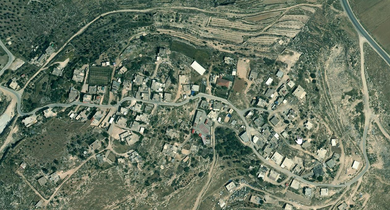
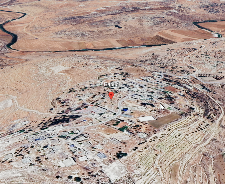
Khirbet Rabud (Rabud) is a village and archaeological site in the
southern West Bank (Hebron Governorate), located roughly 13 km
southwest of Hebron and about 5 km northwest of as-Samuʿ. The site
occupies a strategic position in the southern highlands of Judah
and preserves evidence for ancient settlement alongside the modern
community.
Archaeological work has identified Khirbet Rabud as the locus of an
ancient Canaanite and Judahite town with substantial Iron Age
occupation. Material remains and stratigraphic sequences indicate
a fortified settlement that developed in the early first
millennium BCE, with a notable phase in the 9th–8th centuries BCE.
The site has been discussed in historical-geographical literature
as a candidate for the biblical Debir mentioned in the book of
Joshua.
After its Iron Age prominence, the site appears to have seen
reduced settlement in the Persian period, with later finds
(including ceramics from subsequent periods) suggesting episodes
of intermittent occupation or reuse across the long term. In this
sense, Khirbet Rabud provides a compact case study for continuity
and transformation in the settlement history of the southern
Judean highlands.
 Khirbet Rabud