Jerash - Wadi Suf
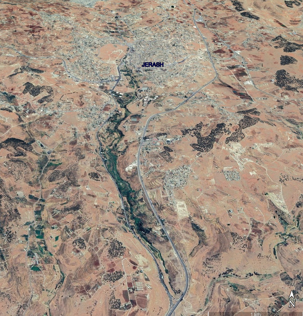 Oblique Satellite View of Jerash and Environs
Google Earth
| Transliterated Name | Source | Name |
|---|---|---|
| Chrysorrhoas River | Ancient Greek | |
| Wadi Jerash | Modern Arabic | |
| Wadi Suf | Arabic |
- Orthophoto of Wadi Jerash
from 1953 from Jerash Aerial Photos at figshare
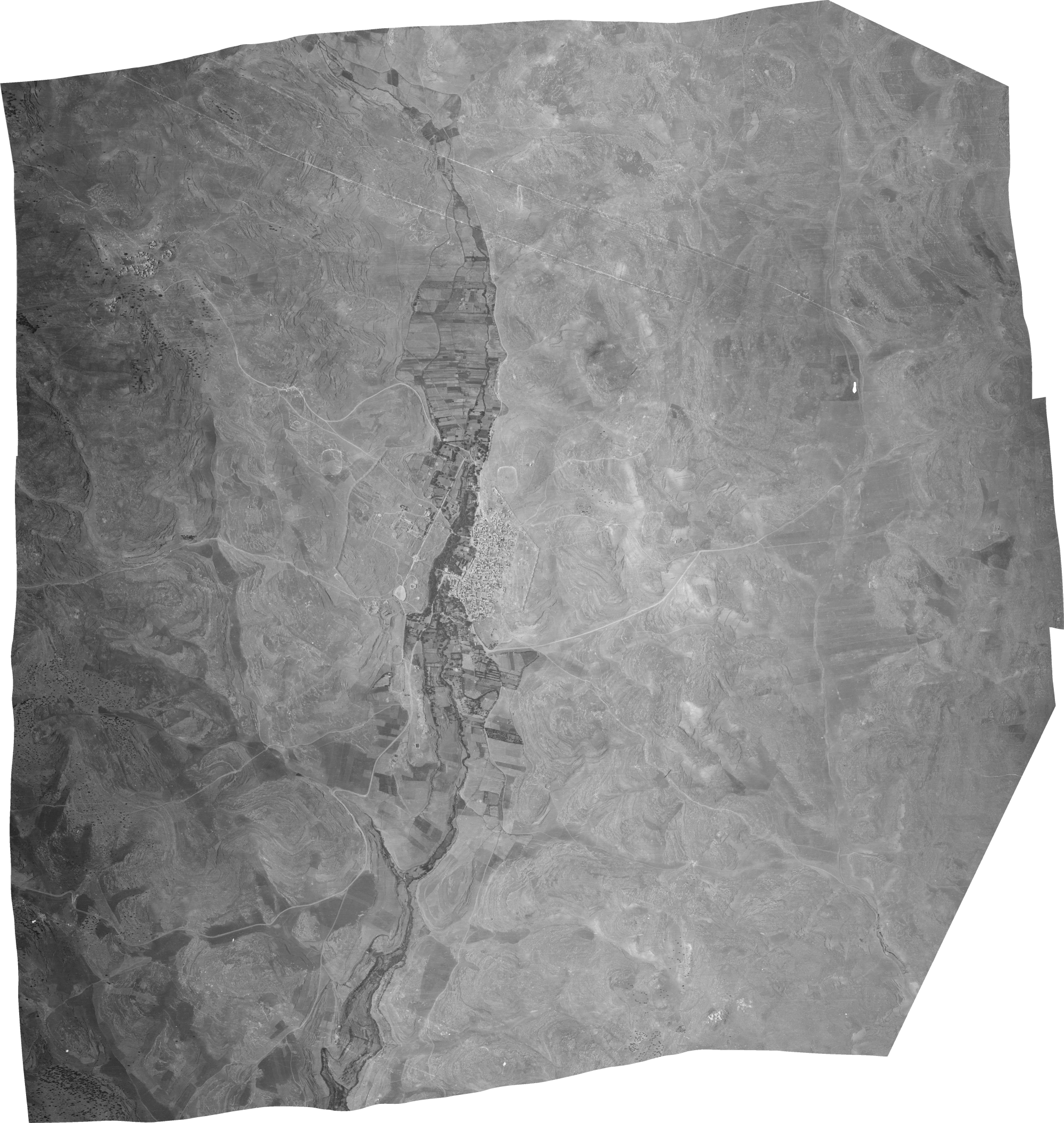 1953 Orthophoto of Wadi Jerash
Click on Image for high resolution magnifiable image
Dataset on figshare authored by David Stott, Rubina Raja, and Achim Lichtenberger in 2019 - Wadi Suf in Google Earth
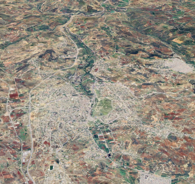 Wadi Suf
click on image to explore this site on a new tab in Google Earth - General Plan of Jerash
from Wikipedia
- Fig. 1 Geologic Map of
Wadi Suf along with locations of the 3 sampled profiles from Lichtenberger et. al. (2019)
 Wadi Suf location and region with indication of the three sampled profiles.
Modified from Hammouri and El-Naqa (2008).
Wadi Suf location and region with indication of the three sampled profiles.
Modified from Hammouri and El-Naqa (2008).
Lichtenberger et. al. (2019) - Fig. 3 Soil deposits in
the Upper Wadi Jerash from Lichtenberger and Raja (2018)
 Fig. 3
Soil deposits in the Upper Wadi Jerash
(after Holdridge et al. 2016: Fig. 3, graphics: L. Hilmar,Grafisk Tegnestue, Moesgaard Museum).
Lichtenberger and Raja (2018))


| Effect | Location | Image(s) | Description |
|---|---|---|---|
|
Wadi Suf
Wadi Suf location and region with indication of the three sampled profiles.
Modified from Hammouri and El-Naqa (2008).
Lichtenberger et. al. (2019) |
Fig. 3 Soil deposits in the Upper Wadi Jerash (after Holdridge et al. 2016: Fig. 3, graphics: L. Hilmar,Grafisk Tegnestue, Moesgaard Museum). Lichtenberger and Raja (2018)) |
|
-
Earthquake Archeological Effects chart
of Rodríguez-Pascua et al (2013: 221-224)
 Earthquake Archeological Effects (EAE)
Rodríguez-Pascua et al (2013: 221-224)
| Effect | Location | Image(s) | Description | Intensity |
|---|---|---|---|---|
|
Wadi Suf
Wadi Suf location and region with indication of the three sampled profiles.
Modified from Hammouri and El-Naqa (2008).
Lichtenberger et. al. (2019) |
Fig. 3 Soil deposits in the Upper Wadi Jerash (after Holdridge et al. 2016: Fig. 3, graphics: L. Hilmar,Grafisk Tegnestue, Moesgaard Museum). Lichtenberger and Raja (2018)) |
|
|