Giv'at Arnon near Givati Junction
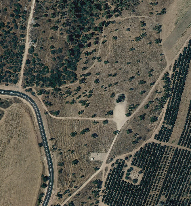 Giv'at Arnon near Givati Junction
click on image to explore this site on a new tab in govmap.gov.il
| Transliterated Name | Source | Name |
|---|---|---|
| Giv'at Arnon | Hebrew | |
| Khirbat ‘Ajjis er-Ra | Arabic | |
| Givati Junction | Hebrish |
- Fig. 1 - Location map from
Shmueli (2013)
 Fig. 1
Location map
Shmueli (2013)
- Giv'at Arnon near Givati Junction in Google Earth
 Giv'at Arnon near Givati Junction
click on image to explore this site on a new tab in Google Earth - Giv'at Arnon near Givati Junction on govmap.gov.il
Giv'at Arnon near Givati Junction
click on image to explore this site on a new tab in govmap.gov.il
- Fig. 2 - Plans and Sections
from Shmueli (2013)
 Fig. 2
Plans and Sections
Shmueli (2013)
- Fig. 2 - Plans and Sections
from Shmueli (2013)
Fig. 2
Plans and Sections
Shmueli (2013)
- Fig. 2 - Plans and Sections
from Shmueli (2013)
Fig. 2
Plans and Sections
Shmueli (2013) - Fig. 4 - Upside down and broken jars
from Shmueli (2013)
 Fig.4
Fig.4
Jars set on the floor of the building, looking east
Shmueli (2013)
| Effect | Location | Image | Description |
|---|---|---|---|
| Broken Jars in Fallen Position | Stratum III in a rectangular building (L109, L119)
Fig. 2 Plans and Sections JW:
|
Fig.4 Jars set on the floor of the building, looking east Shmueli (2013) |
Shmueli (2013) excavated Stratum III in a rectangular building (L109, L119) at Giv'ti Junction in 2011 where, on the floor, they found three Gaza jars which were set upside down (Fig. 4) and broken. A fourth jar was found upright but also broken. |
- Modified by JW from Fig. 2 of Shmueli (2013)
 Deformation Map
Modified by JW from Fig. 2 of Shmueli (2013)
-
Earthquake Archeological Effects chart
of Rodríguez-Pascua et al (2013: 221-224)
 Earthquake Archeological Effects (EAE)
Rodríguez-Pascua et al (2013: 221-224)
| Effect | Location | Image | Description | Intensity |
|---|---|---|---|---|
| Broken Jars in Fallen Position | Stratum III in a rectangular building (L109, L119)
Fig. 2 Plans and Sections JW:
|
Fig.4 Jars set on the floor of the building, looking east Shmueli (2013) |
Shmueli (2013) excavated Stratum III in a rectangular building (L109, L119) at Giv'ti Junction in 2011 where, on the floor, they found three Gaza jars which were set upside down (Fig. 4) and broken. A fourth jar was found upright but also broken. | VII+ |