
Ghoutah
 View of the Ghouta oasis from the mountains west of
Damascus (near Al Kiswah).
Click on image to open a higher resolution version in a new tab
Source: Wikimedia Commons, Al Kiswah farms from mountain الكسوة - أم الغوطة الغربية - panoramio.jpg.
Photograph by Mahmoud Sulaiman (Panoramio). Licensed under the Creative Commons Attribution 3.0 Unported (CC BY 3.0) license.
| Transliterated Name | Source | Name |
|---|---|---|
| Ghouta, Ghauta | Modern English | |
| al-Ghūṭa | Arabic | الغوطة |
- Ghouta in Google Earth
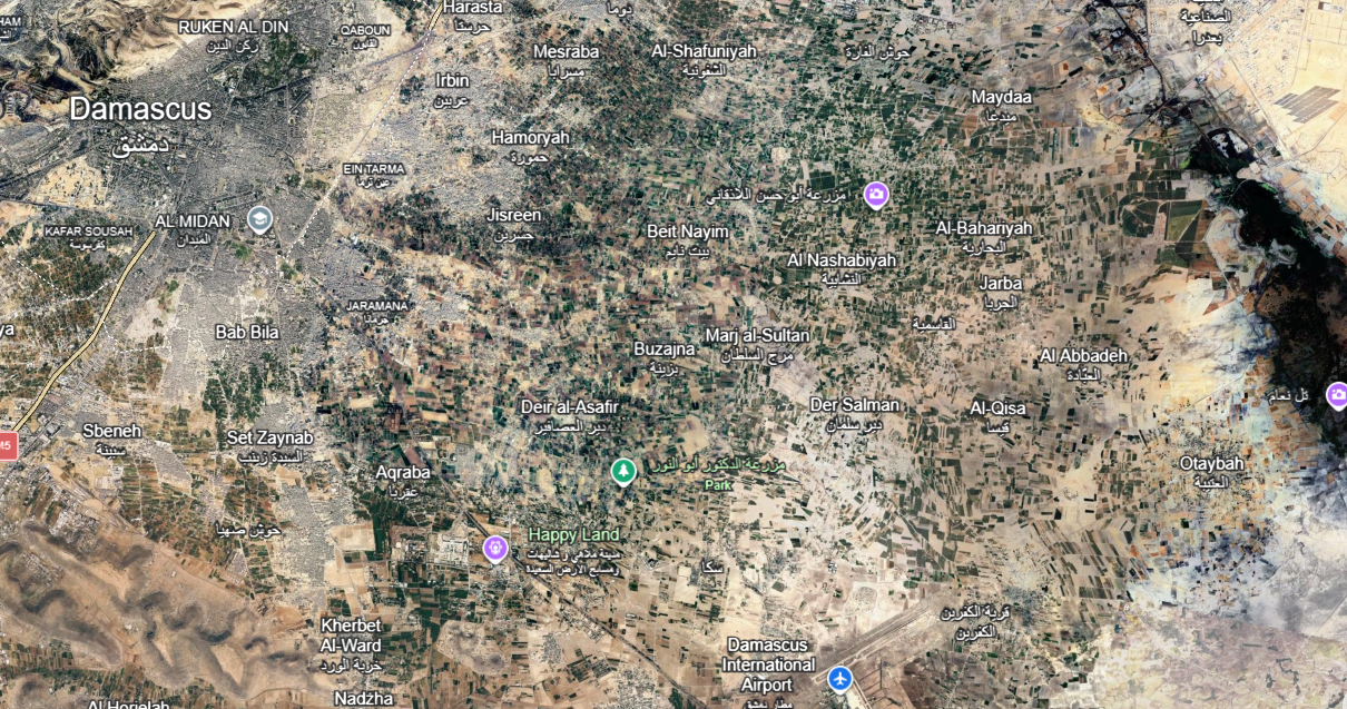 Ghouta
click on image to explore this site on a new tab in Google Earth
- Earthquake Archeological Effects chart
of Rodríguez-Pascua et al (2013: 221-224)
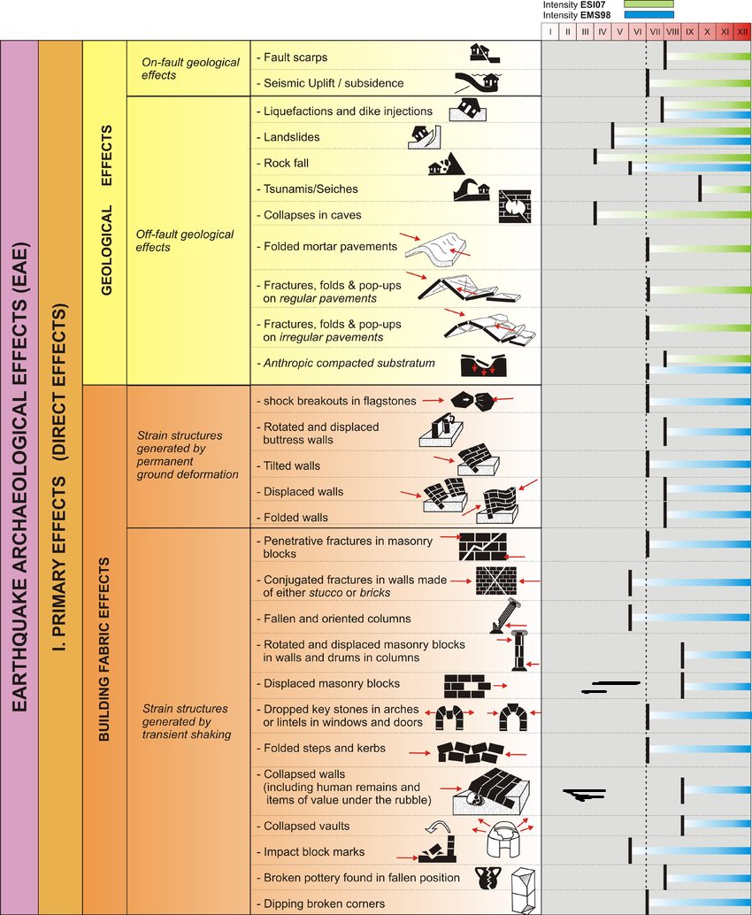 Earthquake Archeological Effects (EAE)
click on image to open a higher resolution version in a new tab
Rodríguez-Pascua et al (2013: 221-224)
| Effect | Location | Image(s) | Description | Intensity |
|---|---|---|---|---|
|
Ghouta |
|
|