Clearing up the Description of Earthquakes by Jalal al-Din al-Suyuti
كتاب كشف الصلصلة عن وصف الزلزلة by عبد الرحمن بن كمال الدين أبي بكر بن محمد سابق الدين خضر الخضيري الأسيوطي
Aliases
al-Suyuti Aliases Arabic Al-Suyuti As-Suyuti Jalal al-Din al-Suyuti Abu 'l-Fadl 'Abd al-Rahman ibn Abi Bakr ibn Muhammad Djalal al_Din al-Khudayri
Ibn 'Asakir Aliases Arabic Ibn 'Asakir al-Hafidh ’ibn ‘Asakir Alī ibn al-Ḥasan ibn Hibat Allāh ibn `Abd Allāh, Thiqat al-Dīn, Abū al-Qasim, known as Ibn `Asakir al-Dimashqi al-Shafi`i al-Ash`ari الحافظ المؤرخ علي بن الحسن بن ھبة اللہ بن عبداللہ بن الحسین الدمشقي الشافعي Thikat al-Din Abu 'l-Kasim 'Ali b. Abi Muhammad al-Hasan b. Hibat Allah b. 'Abd Allah b. al-Husayn al-Dimashki al-Shafi'i al-Hafiz Background and Biography Background and Biography - al-Suyuti
Background and Biography - Ibn 'Asakir
Excerpts English from Nejjar (1973-1974)
- from Nejjar (1973-1974)
27. and 28. 846/848 CE - Damascus, Antioch, and many other places [amalgamated]
In A.H. 233 [August 17, 847/August 4, 848]93 (80), a terrible earthquake occurred in Dimashq [Damascus] (81), which caused several houses to collapse and resulted in the death of many94 people; the seismic wave reached Antioch which it destroyed and al-Jazira (82) which it left in ruins; it also affected al-Mawçil [Mosul], where according to what is said, fifty thousand of its inhabitants died; this is what is mentioned in the Târîkh of Adh-Dhahabî (84). As for the author of al-Mir'ât, he saidIn 32 [A.H. 232: August 28, 846/August 16, 847]95 (85), earthquakes multiplied throughout the world (86), notably96 in the Maghrib (87) and in Sham; the walls of Damascus97 and of H'ims (88) were destroyed; the most violent earthquakes occurred in Antioch and in al-'Awâçim98 (89); al-Jazira was destroyed, al-Mawçil [Mosul] too; this intense seismic activity continued for several days).He [the author of al-Mir'ât] then says:And in 33 [A.H. 233: August 17, 847/August 4, 848]99, a very severe earthquake struck; al-H'afidh ibn 'Asâkir mentioned it in "Kitâb az-Zalâzil" (the book of earthquakes); he then said100 :Damascus was shaken by an earthquake at dawn on Thursday 11101 (89 bis) Rabi' II and 233 (November 24, 847); a quarter of the mosque102 was torn to pieces; the large stones were torn out and the minaret collapsed. The bridges and houses collapsed; the seismic wave passed through al Ghût'am (91): it destroyed Dârayyâ104 (92), al-Mizza (93), Bail Lihyâ105 (94) and other [localities]. The people reached al-Muçall'â (95) where they prayed until noon; [then] everything calmed downFootnotes93) In 233; (B and D): in 230.
94) V.s.i. in (B and G).
95) That is to say in 232, as is evident from what precedes and what follows.
96) notably; (B) and.
97) V.s.i. in (A).
98) al-'Awâçim: strongholds located between H'alab and Antâkia, Cf. Yâqût, Vol. IV, p. 165. In the margin of another copy, we read; al-'Awâçim, whose capital is Antioch, Cf. al-Qâmûs, Vol. IV, p. 151.
99) 33, c.a.d. in 233, as is evident from what precedes and from what follows.
100) and he said again; (G): and.
101) The 11th; in another copy: the 21st.
102) A quarter of the mosque was torn to pieces; (B): the great mosque was shredded.
103) V.s.i. in (D); we read, in the margin, in another copy: al-Ghût'a, city of Damascus or its district. Cf. al-Qamûs, T. II, p. 377.
104) Dârayyâ, one of the villages of Damascus.
80) The year 230, mentioned in manuscripts B and D, seems more probable, as-Suyût'i having adopted in his treatise, the chronological order. Moreover, he cited, infra, an earthquake which affected the same city of Damascus in the year 233.
81) Damascus (36° 18' long. E and 33° 30' lat. N). Towards the middle 8th century AD, its plan was substantially the same as in the Roman period; then, from the 10th century AD, "this plan breaks up into multiple watertight compartments". Cf. detailed study, in Sauvaget, "Outline of a history of the city of Damascus", Revue des etudes Islamiques, 1934, N. Elisséeff, Dimashk, E.I. 2nd ed., 290.
82) Refers to the northern part of the territory between the Tigris and the Euphrates, hence the name Jazira (island); in fact, the territory in question extends northward beyond the upper course of the Tigris (al-Jazira is on the northern and northeastern side bordering Armenia) and also includes a variable strip extending both on the left bank of the Tigris and on the right bank of the Euphrates; on the eastern side, it borders Adharbaydjân and to the west of Syria; on the southern side, it borders Iraq from a line running from Takrit to Anbar (Anbar, a city on the left bank of the Euphrates, located at 43° 43' E, 33° 22' 30" N, 62 km from Baghdad; Takrit, a city on the right bank of the Tigris north of Samarra). It was divided into three main provinces : Diyâr Bakr, Diyâr Mud'ar and Dyâr Rabî'a. During the 'Abbasid era, al-Mawçil was sometimes detached from the government of the Jazira. The province was also sometimes included in a larger whole. Bordering Armenia was often united with it or sometimes united only with Diyâr Bakr. (The name of Jazîrat ibn 'Umar is also given to a city located on the right bank of the middle Tigris at 42° 11' long. E and 37° 20' lat. N). Cf. Marius Canard, Jazîra, E.I., 2nd ed., pp. 536-537.
83) Mosul, capital of Diyâr Rabî'a and of the Jazîra (this metropolis = miçr, takes its name, "the confluence", from the meeting in a single bed of several arms of the Tigris) situated on the right bank of the Tigris opposite the ancient Nineveh; the city dominated the river and, according to Ibn Il'awqal, there were approximately 60 cubits between the river level and the ground of the city; geographers give it the shape of a "t'ailasân" (elongated rectangle). Around 985-86 AD, it was, according to al-Maqdisi, arranged in a semicircle. The majority of the houses were built of tuff or marble; their roofs were domed. Cf. Honigmann, E.I., vol. III, pp. 650-51; Canard, Histoire de la Dynastie de H'amdanides [H'amdanid Dynasty]..., vol. I, pp. 117-121.
84) This is Shams ad-Dîn Abû 'Abd-Allah Muh'ammad b. 'Uthman b. Kaymaz b. 'Abd-Allah al-Turkumânî al-Fariqî ad-Dimashqî al-Shafi'i, Arab historian and theologian, born in Damascus, or in Mayya-farikin, in 673 or 74-748 or 53 AH/1274-1348 or 52-53 AD. He excelled in three disciplines: Tradition, Law and History. The work in question is "Tarikh al-Islam" which is his major work (published in Cairo from 1367/1947-8). The work consists of a history of Islam beginning with the genealogy of the Prophet and ending in 700/1300-1; its value lies in the "narration of events neglected by Ibn al-Athîr in his Kamil "(M. Ben Cheneb [De Somogyi], E.I., 2nd ed., pp. 221-222..
85) It is in 232. The copyist omitted this time and often thereafter the hundreds figure, logically so as not to have to quote it several times in a row.
86) A term which of course has a restrictive meaning: it concerns the Muslim world (Dar al-Islâm), to which, however, must be added a fringe of a certain depth extending along the borders into non-Muslim territory.
87) This is the Muslim West: Spain (Al-Andalus), Morocco, Algeria (central Maghreb), Tunisia (Ifriqya) and Tripolitania Cyrenaica (Barqa).
88) This is ancient Emesa and the present-day H'oms (36° long. E. and 34° 20' lat. N.). Ya'qûbî, in the 9th century, reported it as one of the largest cities in Syria. Cf. Dussaud, Topographie historique de la Syrie amtique et medievale, Paris, 1927, p. 104. N. Elisséeff, Hims, E.I., 2nd ed., p. 409.
89) Name given to a portion of the border area that stretched between the Byzantine Empire and the Muslim Empire to the North and North-East of Syria. Ath-Tughûr (border places) is the name given to the most advanced places in the area, al-'Awâçim (the protectors) designating the places located further back, and constituting fallback centers (the most important being Antioch). Some places were erected in ''Awâçim in 786 AD, by Hârûn ar-Hashid; they are: Manbig (the ancient Bambyce or Hierapolis of Syria), Duluk (the ancient Doliché), Ant'akia... Ibn Khurdadbih mentions other al-'Awâçim, including Bâlis (the ancient Barbalissus) ; Ibn H'awqal cites Sumaysât (the ancient Samosata) and Ibn Shaddâd mentions among other names: Baghras (the ancient Pagrae), Rab'ân, Kurus, Kaysûm, Kal'at Najm, Artah, Tall 'Abbasin... On a delimitation of the territory of the Awâçim, Cf. Marius Canard, Histoire de la Dynastie de H'amdanides [H'amdanid Dynasty]..., pp. 226-235. The region of the Thughûr and the Awâçim was conquered by Nicephorus Phocas in 969 AD; the term Awâçim, as a purely geographical expression, continued to be used at the time of the Crusades and the Mamluks, by Arab geographers. Cf. Marius Canard, E.I., 2nd ed., pp. 783-84.
89 bis) The 21st of Rabi' II corresponds to a Sunday; this date is therefore to exclude.
90) Are these the cut stones from the church of Saint John in Damascus which had been reused for the construction of the mosque from the same city? Cf. N. Elisséeff, E.I., 2nd ed., p. 289.
91) This is the irrigated area surrounding Damascus, between the mountains and the eastern lakes. Today, Ghouta only refers to the garden regions. Cf. Dussaud, Topographie historique de la Syrie antique et medievale..., p. 293.
92) Village of the Ghût'a of Damascus, 8 km to the South-West of it; "it is known in the Syriac texts under the name of Dara of Sham and in the Christian Greek texts under the form Daraia". Cf. Dussaud, Topographie historique de la Syrie..., p. 297.
93) Large village located southeast of Damascus, at a distance of 1/2 farsakh [farsang?] (3 km.). Cf. Yâqût, Mu'jam al-Buldan, vol. VIII, p. 47.
94) Al-Aliha = the idols. This village of Ghûta, which is nevertheless quite famous (Abraham is shown breaking his father's idols; a fairly large church was there) does not appear on the maps. According to Ibn Jubaïr and Ibn Bat't'ût'a, it is located to the East, more precisely to the North East of Damascus, between the latter and Berzé. It seems, in reality, to have been a suburb of the city; [another locality, bearing the same name, is located to the East of Rasheiya and is obviously to be excluded]. Cf. Dussaud, Topographie historique de la Syrie antique et medievale..., p. 295; al-Muqaddasi, Ah'san at-Takasim fi ma'rifat al-Akâlîm, trad. annot. André Miquel, Damascus, 1963, p. 261.
95) Open-air mosque (open to the sky) outside the wallsEnglish from Ambraseys (2009)
‘In A.H. 233, a very violent earthquake occurred; al-Hafidh ’ibn ‘Asakir mentions it in the Book of Earthquakes, and he says:
- from Ambraseys (2009)
Damascus was shaken by an earthquake at dawn on Thursday 11 Rabi’ II in the year 233; a quarter of the mosque [Ommayad?] was torn open, its great stone blocks were thrown down, and the minaret collapsed. The bridges and houses collapsed, and the earthquake traversed al-Ghut’ah; it destroyed Darayyah, al Mazza, Bait Lihyah and others. People went to the musallah where they prayed until midday. Then everything calmed down. The earthquake reached Antioch.’ (al-Suyuti Kashf 25, 26).English from Sbeinati et al. (2005)In 233 A.H. 11 (847 A.D. November 25) there was a dreadful earthquake in Damascus where houses fell down and people died under debris. This earthquake extended to Antioch causing destruction, to Al-Jazira causing damage, and to Al-Mousel killing 50000 people as it was said. In his book Al-Zalazel (the earthquakes), Al-Hafez Ibn Asaker mentioned that there was an earthquake in Damascus on Thursday 11 Rab’ 253, destroying a quarter of the Ommyad Mosque the great, the minaret fell down and bridges and houses collapsed, this earthquake reached Al-Ghouta where Darayya, Al-Mazzeh, Bait Lahya and others were destroyed. (Al-Suyuti)
English from Guidoboni et al. (1994)There was a strong earthquake mentioned by al-Hdfiz Ibn Asakir, in [his] Kitab al-zalazil (Book of earthquakes):
The earth shook in Damascus on Thursday morning, 11 rabi` II of the year 233 [24 November 847 A.D.]. A quarter of the mosque [the Ommiad Great Mosque] was broken off and its great stones were pulled apart. The minaret fell down; and bridges and houses collapsed. The earthquake reached al-Ghtita [al-Ghouta] and it destroyed Darayya, al-Mazzah, Bayt Lahya and other. People went to the mosques to pray till mid-day; then the world became calm again.English from Taher (1979)
220 A.H./835 A.D.
220 A.H./835 :
- from Taher (1979:30-32)
The earth was shaken by earthquakes for forty days; the city of Antioch was subject to destruction.4Footnotes
Footnotes4 As Suyûti, Kashf, 25.
232 A.H./847 AD
232 A.H./847 AD
- from Taher (1979:30-32)
Earthquakes5 increased throughout the world, notably in Syria, the walls of Damascus and Homs were destroyed; the most violent earthquakes occurred in Antioch and al-'Awàçim. This intense seismic activity continued for several days. The author of Al-Mireât [Sibt Ibn al-Jawzi?] then says:Footnotes5 As Suyûti, Kashf, 25. He cited another earthquake in the year 230 AH with the same details - and events.
233 A.H./848 AD
233 A.H./848 AD
- from Taher (1979:30-32)
In 233/848, a very violent earthquake1 occurred; al-H'âfidh'ibn 'Asakir mentioned it in "Kitâb az-zalazil (the book of earthquakes); he says again:Damascus was shaken by an earthquake at dawn on Thursday 11 Rabi' II and 233; a quarter of the mosque was torn to pieces, the large stones were uprooted and the minaret collapsed. Bridges and houses collapsed, the seismic wave traveled through al-Ghût'a; she destroyed Dârayyâ, al-Mazza, Bait Lihyâ and others. The people went to al-Muçallâ where they prayed until noon. Then everything calmed down. The seismic wave reached Antioch.Footnotes1 As Suyûti, Kashf, 25, 26. according to Ib 'Asa kir; adh Dhahabi, al 'iber, 1/413.
French from Taher (1979)
220 A.H./835 A.D.
220 A.H./835 :
- from Taher (1979:30-32)
La terre fut secouée par des tremblements de terre durant quarante jours; la ville d'Ant'êkia fut sujette à des destructiones4Footnotes4 As Suyûti, Kashf, 25.
232 A.H./847 AD
232 A.H./847 :
- from Taher (1979:30-32)
Les séismes5 se multiplièrent de par le monde, notamment au Châm, les murs de Damas et Hums furent détruits; les séismes les plus violents se produisirent à Antioche et à al-'Awâcim. Cette intense activité séismique se poursuivit durant plusieurs jours. L'auteur de Al-Mir'at dit ensuite :Footnotes5 As Suyûti, Kashf, 25. Il a cité un autre séisme l'année 230 H. avec les mêmes détails et événements.
233 A.H./848 AD
233 A.H./848:
- from Taher (1979:30-32)
En 233/848, un séisme1 très violent se produisit; al-H'äfidh'ibn 'Asakir le mentionna dans "Kitâb az-zalâzil (le livre des tremblements de terre); il dit encore :Damas fut secouée par un séisme à l'aube du jeudi 11 Rabî' II et 233; le quart de la mosquée fut déchiqueté, les grosses pierres furent arrachées et le miraret s'affaissa. Les ponts et les maisons s'effordrèrent, l'onde sismique parcourut a1-Ghût'a; elle détruisit Darayya, al-Mazza, Bait Lihyâ et d'autres. Les gens gagnèrent el-Muçalla où ils prièrent jusqu'à midi. Puis tout s'apaisa. L'onde séismique atteignit Antioche.Footnotes1 As Suyûti, Kashf, 25,26, selon Ib'Asa kir; adh Dhahabi, al 'iber, 1/413.
English from Sprenger (1843)
A.H. 233. On Thursday, the 11th of Rabi-al-Akhar, many buildings were destroyed at Damascus by an earthquake.
- Abridged translation from Sprenger (1843:742)
English from Sprenger (1843) - embedded
- see top of page 742 starting with
130. There was an earthquake at Damascus- Abridged translation from Sprenger (1843:742)
- from archive.org
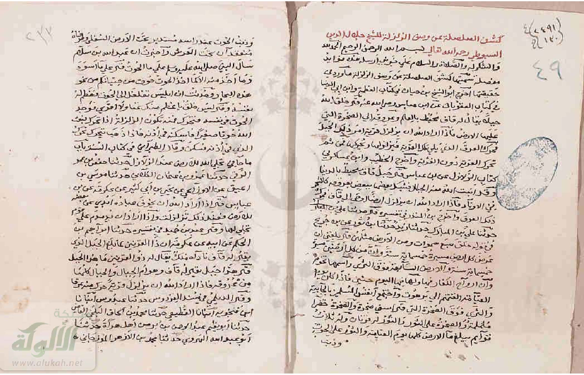
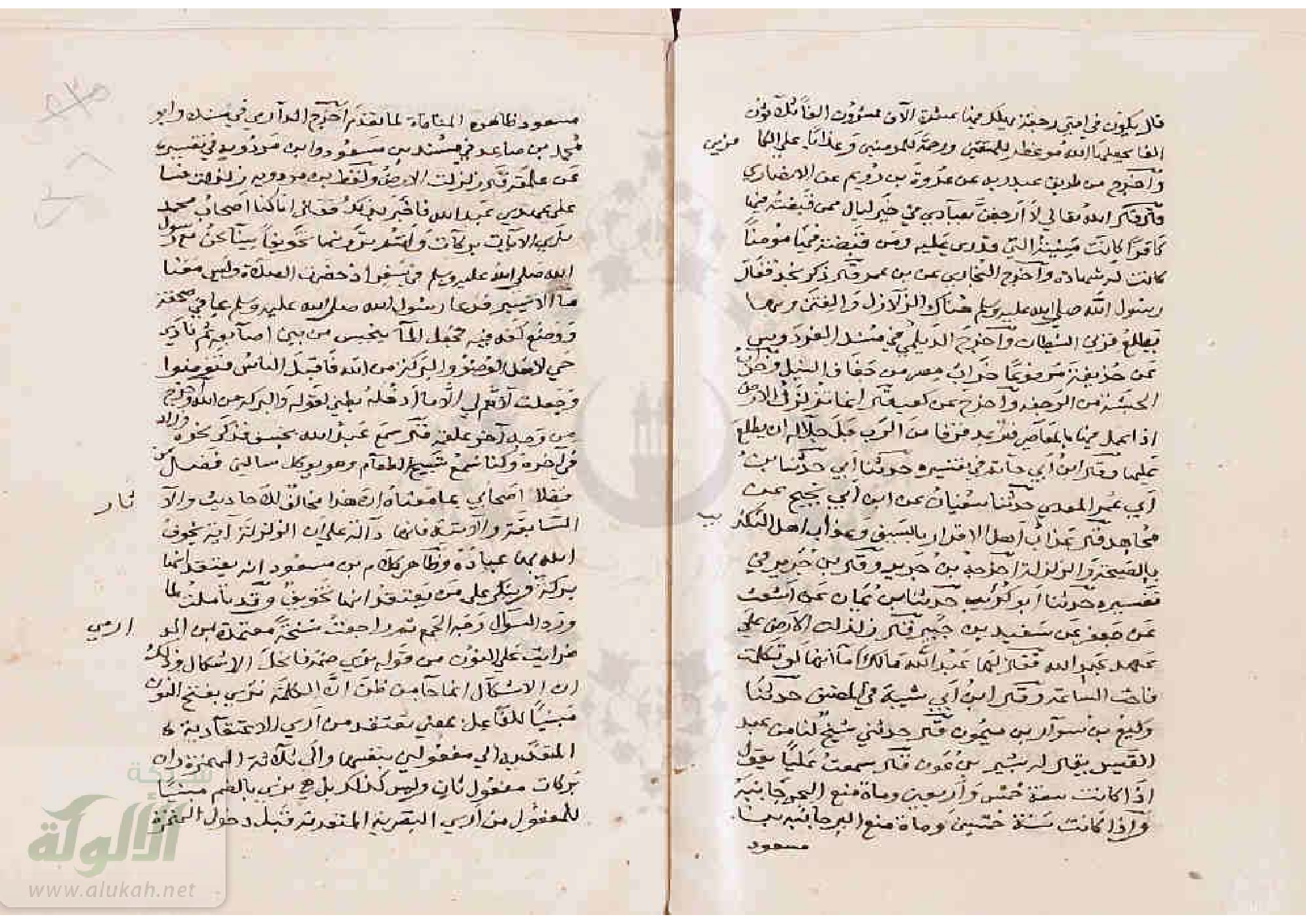
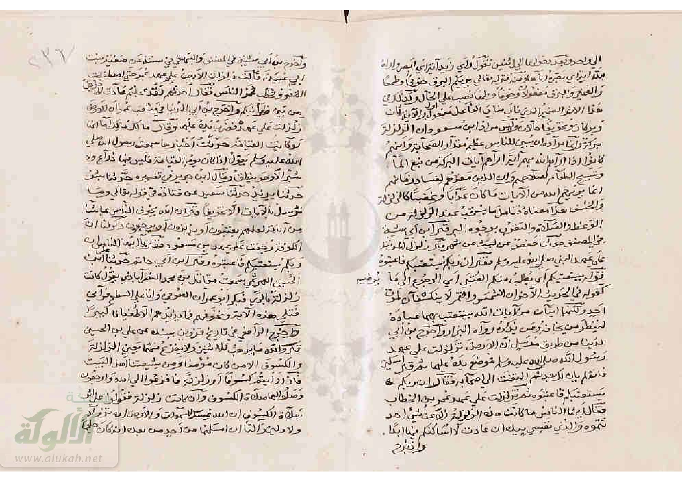
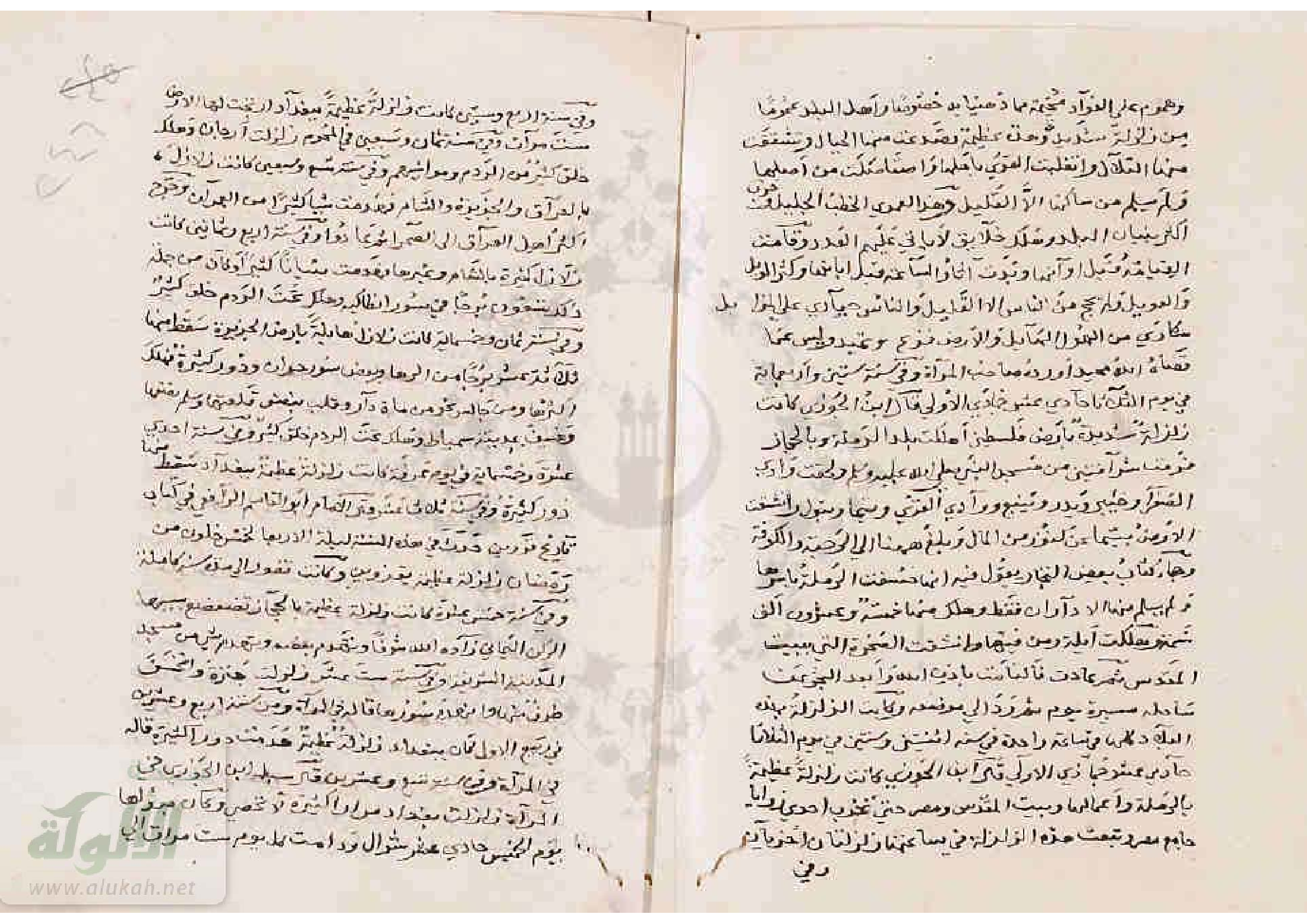
Semi critical edition in Arabic by Al-Saladani (1971) - embeddedAn Original Manuscript - Arabic
- The Noor book courtesy of Najib Abou Karaki (personal correspondence, 2022)
Chronology
Date Reference Corrections Notes Dawn on Thursday 24 November 947 CE at dawn on Thursday 11 Rabi’ II in the year A.H. 233 none
- Calculated using CHRONOS
- Day of week (Thursday) matches Date (11 Rabi’ II A.H. 233)
Seismic Effects
Locations
- Damascus
- al-Ghut’ah
- Darayyah
- al-Mazza
- Bait Lahya
- Homs (possibly according to Al-Suyuti's source named as the author of Al-Mireât [Sibt Ibn al-Jawzi?])
Sources Sources - al-Suyuti
Notes and Further Reading References - al-Suyuti
References - Ibn 'Asakir