Tell Tuneinir
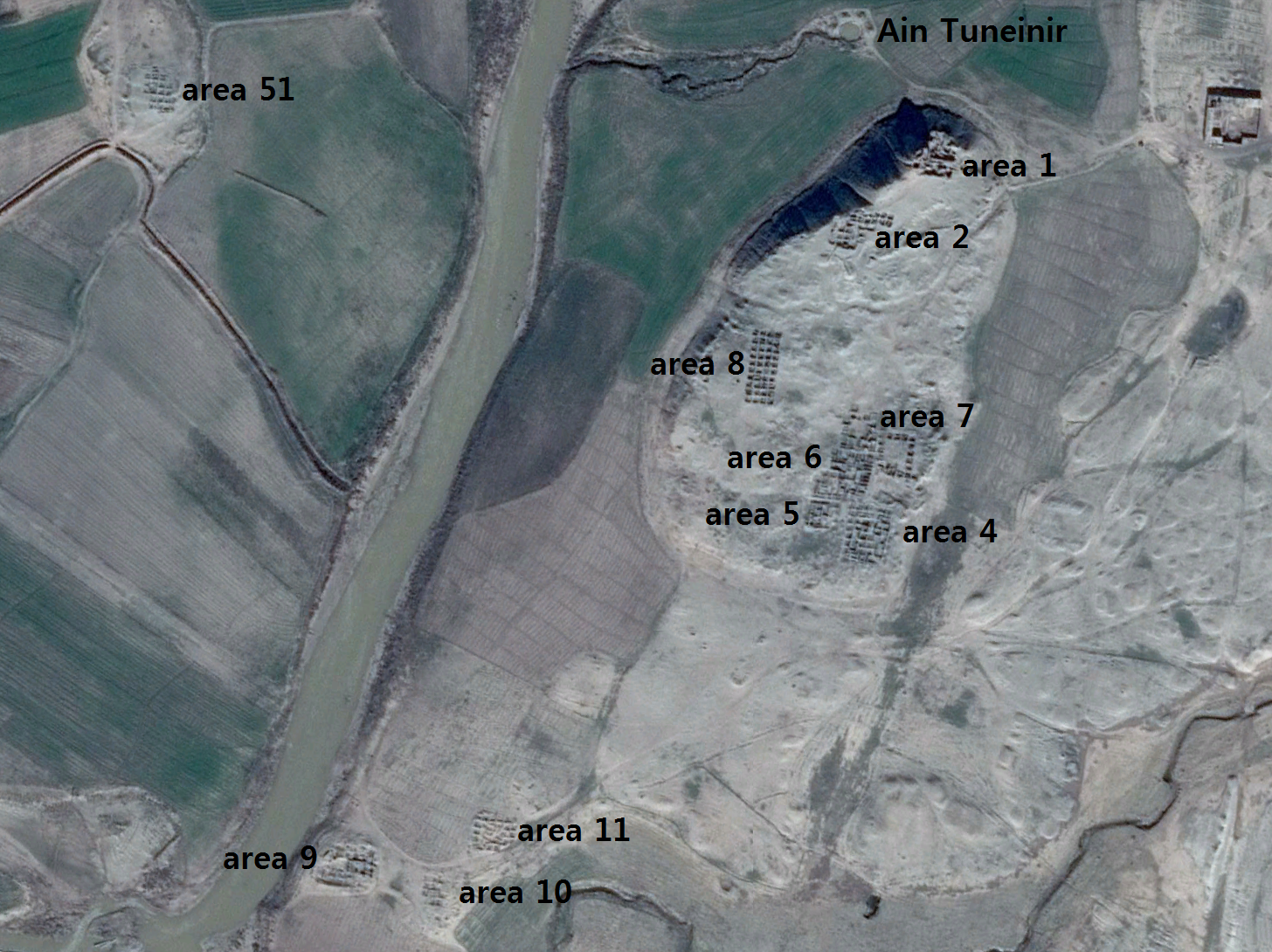 Tell Tuneinir Excavation Areas
click on image to open in a new tab
Attar-Aram syria - Wikipedia - CC BY-SA 4.0
| Transliterated Name | Language | Name |
|---|---|---|
| Tell Tuneinir | Modern archaeological | |
| Tell Tuneinir | Arabic | تل التنينير |
| Tell Tunaynir | Arabic (variant translit.) | تل تنينير |
| Tell Tneinir | Scholarly variant | |
| Tuneinir | Syriac (translit.) | ܬܘܢܝܢܝܪ |
| Tunēnir | Syriac (scholarly translit.) | ܬܘܢܝܢܝܪ |
| Tuneynir | English variant | |
| Tuneinir | English / archaeological usage |
- Tell Tuneinir Excavation Areas
from Wikipedia
 Tell Tuneinir Excavation Areas
click on image to open in a new tab
Attar-Aram syria - Wikipedia - CC BY-SA 4.0 - Tell Tuneinir in Google Earth
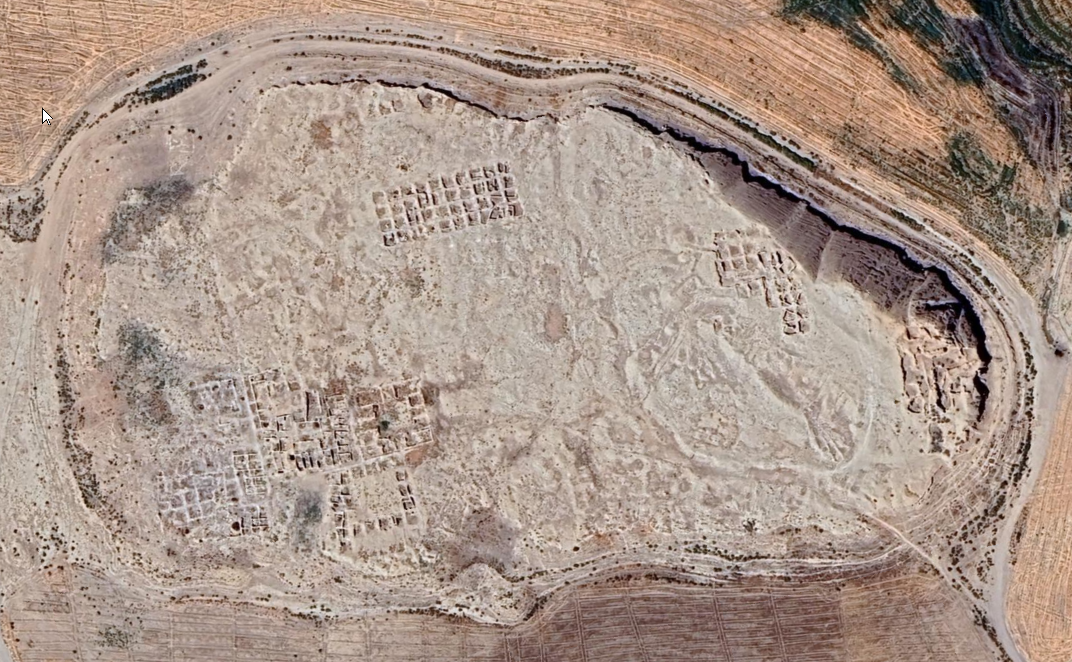 Tell Tuneinir
click on image to explore this site on a new tab in Google Earth
- Tell Tuneinir Excavation Areas
from Wikipedia
Tell Tuneinir Excavation Areas
click on image to open in a new tab
Attar-Aram syria - Wikipedia - CC BY-SA 4.0 - Tell Tuneinir in Google Earth
Tell Tuneinir
click on image to explore this site on a new tab in Google Earth