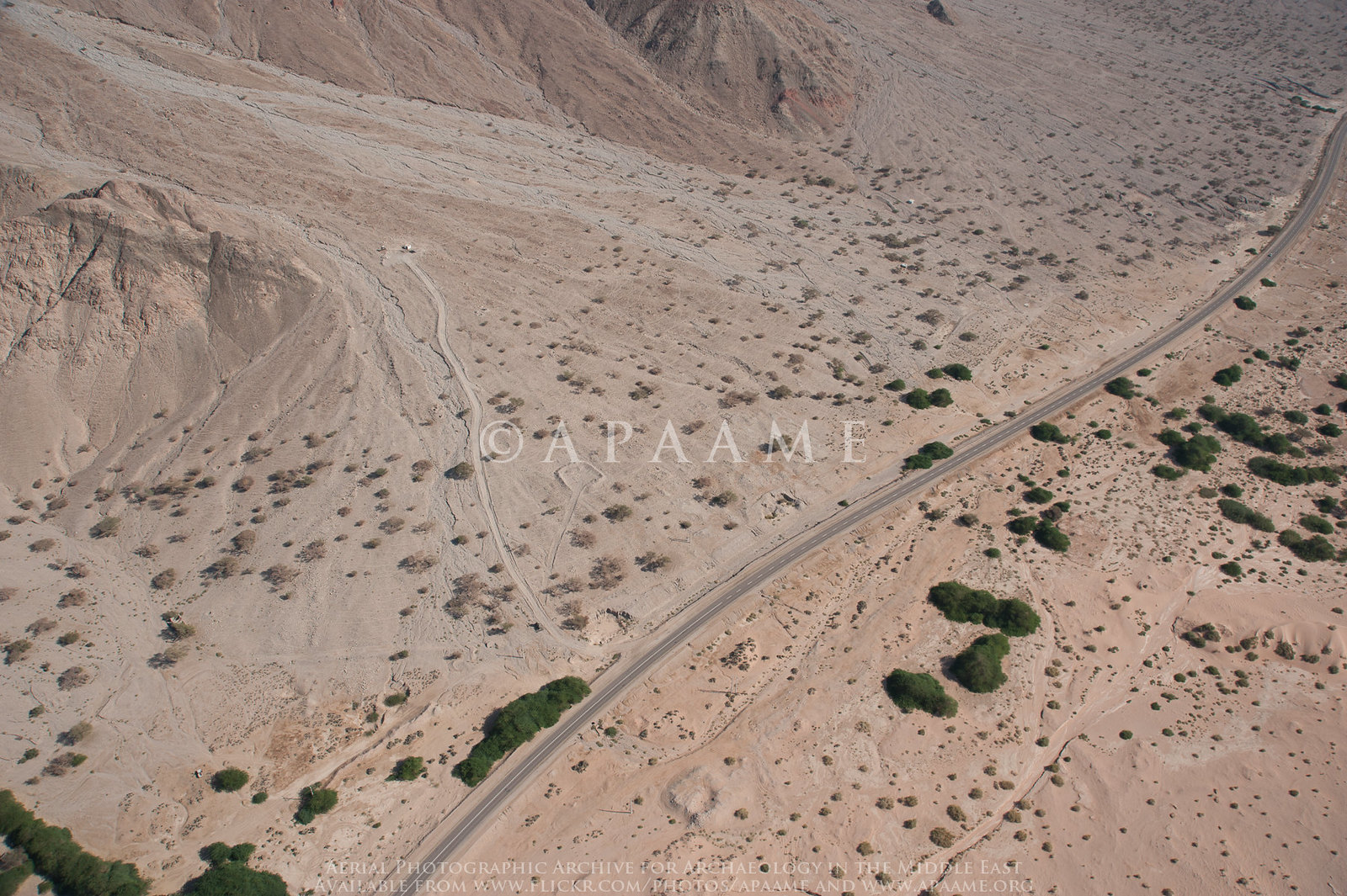
Open this page in a new tab

Rujm Taba

Aerial view of Rujm Taba Aerial view of Rujm Taba

APAAME

  • Reference: APAAME_20160918_RHB-0278.jpg
  • Photographer: Robert Howard Bewley
  • Credit: Aerial Photographic Archive for Archaeology in the Middle East
  • Copyright: Creative Commons Attribution-Noncommercial-No Derivative Works


Click photo for high res magnifiable image


Introduction
Introduction

Rujm Taba is located in the Wadi Arabah valley ~42 km. north-east of Aqaba and 4 km. south of the village of Rahma. The regional water source known as 'Ain Taba lies along the road ~ 3.5 km. to the south. In antiquity, the site served as a way station on the major Nabataean route that ran northward along the eastern escarpment of Wadi Arabah from Aila (modern Aqaba) to the southeast coast of the Dead Sea ( Dolinka, 2006a). Rujm Taba completely escaped the notice of the ancient Greek and Latin authors, who fail to mention it either directly or indirectly. ( Dolinka, 2006a)

Maps and Aerial Views

  • Map showing the RTAP 2001 survey area from Dolinka (2006a)
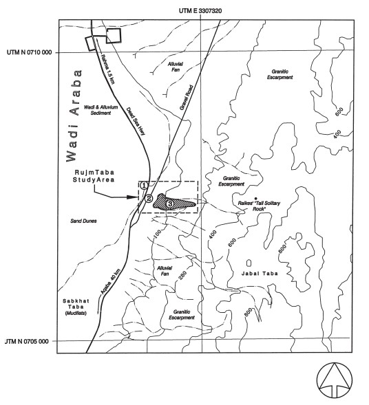
  • Rujm Taba in Google Earth

Chronology
Early 2nd century CE Earthquake

Dolinka (2006a) reports the possibility of archaeoseismic evidence at Rujm Taba based on site delineation and surface collection performed in August 2001 and previous work such as SAAS.

the ceramic evidence gathered by RTAP suggests that both the village and the caravanserai at Rujm Taba flourished during the late first century AD, aptly demonstrated by the fact that half of the NPFW from the village and nearly half (48%) of the NPFW from Structure A001 are dated to Dekorphase 3b, or c. 70–100 AD. A high amount of activity at Rujm Taba during this period seems to call into question the notion repeated by many scholars (e.g. Bowersock 1983: 156) that the discovery of the monsoon winds in the mid-first century AD caused a major decline in the Nabataean overland caravan trade. Quite contrary, Rujm Taba seems to have thrived in an era of supposed economic deterioration.

Third, according to the RTAP ceramic repertoire there seems to have been a decline in activity and occupation at Rujm Taba during the early to mid-second century AD, an idea supported by the fact that numbers of NPFW drop off sharply during this period, with only 8% of the total pottery from Structure A001 and 15% of the total ceramics from the village dating from Zantur Dekorphase 3c. Whether or not this decline should be attributed to the Roman annexation of Nabataea in AD 106, or an earthquake that devastated the Rift Valley during the early second century AD, is still a matter of debate among scholars that could easily be resolved through stratified excavations at Nabataean sites, such as Rujm Taba, located along the major trade routes that were in use during the period in question.

Notes and Further Reading
References