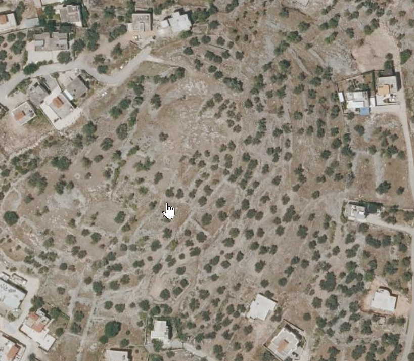
Khirbet Kheibar
(also known as Tell Kheibar) is a fortified tell
archaeological site on an isolated hill overlooking
the western edge of the
Sanur Valley, in the
West Bank, northeast
of the modern village of
Meithalun. Its elevated
position and prominent enclosure indicate a
settlement with defensive and strategic
importance in the hill country of northern
Samaria.
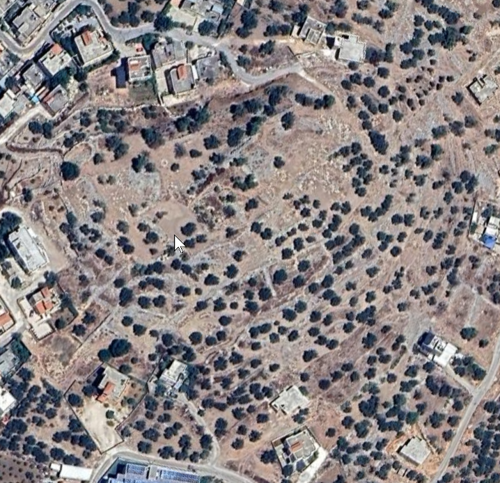
The site preserves substantial remains of an
ancient city wall, with sections standing to
approximately three meters in height. The wall
encloses the flattened summit of the tell, while
archaeological evidence suggests that the
inhabited area expanded beyond the fortifications
during certain periods, including the
Roman period, indicating
continued occupation and adaptation of the site
over time.
Surface surveys have documented pottery and
small finds spanning from the
Middle Bronze Age
through the Medieval period, with the most
abundant material dating to the
Iron Age. The site is
also associated with 19th-century local traditions
that linked the name Kheibar to an earlier Jewish
population, possibly preserved in folk memory
through comparison with the Jews of
Khaybar in Arabia, though
no direct historical connection can be securely
established.
 Khirbet el-Kheibar (JW: I think this is the site)