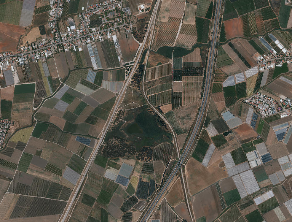
 Khirbet al-Niʿana environs
| Transliterated Name | Language | Name |
|---|---|---|
| Khirbet al-Niʿana |
 Fig. 1
 Khirbet al-Niʿana environs
Khirbet al-Niʿana environs
Khirbet al-Niʿana environs
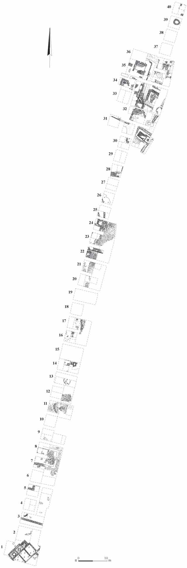 Fig. 1
Fig. 1
| Effect | Location | Image(s) | Description |
|---|---|---|---|
|
Area B (Squares 30-36)
Fig. 1 General Plan Torge (2010) |
Torge (2010)
reports a thick layer of collapse, containing large ashlar stones, pieces of roof tiles, sections of a ceramic pipe and numerous pottery fragmentson the floors of the buildingsin 5th century CE stratum IV in Area B (Squares 30-36) |
 Earthquake Archeological Effects (EAE)
| Effect | Location | Image(s) | Description | Intensity |
|---|---|---|---|---|
|
Area B (Squares 30-36)
Fig. 1 General Plan Torge (2010) |
Torge (2010)
reports a thick layer of collapse, containing large ashlar stones, pieces of roof tiles, sections of a ceramic pipe and numerous pottery fragmentson the floors of the buildingsin 5th century CE stratum IV in Area B (Squares 30-36) |
|