'En Ziq
 'En Ziq
click on image to explore this site on a new tab in govmap.gov.il
| Transliterated Name | Source | Name |
|---|---|---|
| 'En Ziq | Hebrew | |
| Ein Ziq | Hebrew | |
| Horvat 'En Ziq | Hebrew |
- Fig. 1 Location Map from
Goring-Morris (1978)
 Fig. 1
Map of Southern Israel and Northern Sinai showing the location of Nahal Zin
Goring-Morris (1978) - Fig. 2 Location Map from
Goring-Morris (1978)
 Fig. 2
Map of the Nahal Zin, showing the location of sites Ma'aleh Ziq and B5 and their relation to water sources
Goring-Morris (1978) - Fig. 2 Location Map from
Stern et al (1993 v.3)
 Fig. 2
Map of the main MB I sites in the Negev Hills.
Stern et al (1993 v.3)
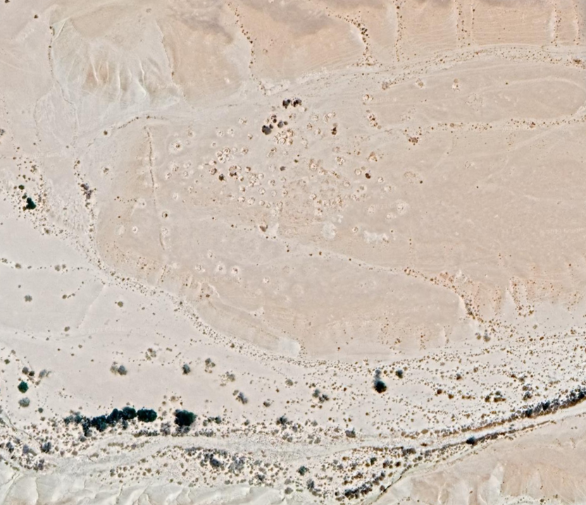
- Aerial view of 'En Ziq
(Bronze and/or Iron Age structures) from Stern et al (1993 v.3)
 Horvat 'En Ziq: aerial view.
Stern et al (1993 v.3) - 'En Ziq in Google Earth
 'En Ziq
click on image to explore this site on a new tab in Google Earth - 'En Ziq on govmap.gov.il
'En Ziq
click on image to explore this site on a new tab in govmap.gov.il