Earthquake VI

Area J-East in the archaeological site of Aila preserves one of the
most detailed archaeoseismic records along the southern
Dead Sea Transform. Located approximately 500 m north
of the modern shoreline of the Gulf of Aqaba and about
500 m northwest of the later Islamic city of
Ayla, the Nabatean, Roman, Byzantine, and Early Islamic
occupation sequence spans from the first century CE
through the Early Islamic period.
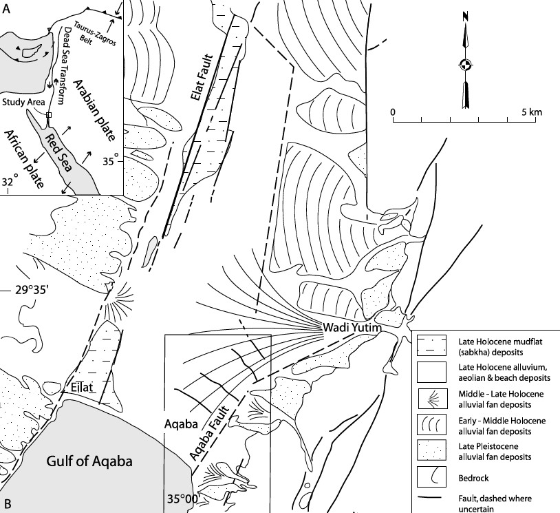
Aila occupies a tectonic setting at
the northern end of the Gulf of Aqaba where
left-lateral motion on the Aqaba Fault is transferred
westward across the Wadi Arabah by a series of
shoreline-parallel normal cross faults. One of these
active faults (CF-5) intersects the western part of
Area J-East, providing a rare opportunity to document
repeated surface faulting, structural damage, repair,
and stratigraphic displacement within a well-dated
archaeological sequence.
Thomas et al. (2007) identified
earthquake destruction (Earthquake VI) within a collapse
layer that they dated to the mid to late fourth century CE.
In describing the underlying Phase 2 deposits, they
established a
terminus post quem
of ca. 320 CE using coins and pottery. They observed that “during the early
fourth century, a monumental building was expanded
and concluded with the final addition of Rooms 11 and
12 constructed after ca. A.D. 320,” and further noted
that “the upper sequences of floors contained Early
Byzantine pottery of the mid to late fourth century.”
A
terminus ante quem
is provided by the 363 CE Cyril Quake, which is interpreted
to have caused the destruction attributed to
Earthquake V. Thomas et al. concluded that “this
seismic event [Earthquake VI] must have occurred at some point in the
mid to late fourth century A.D. but before the final
extensive collapse of the complex in Earthquake V
[363 CE].”
For Earthquake VI, Thomas et al. (2007) measured 10 cm
of left lateral strike-slip across Fault C on wall J.1:26, north of Room 21.
They also observed strike-slip on Fault D but could not provided a quantitative estimate
since motion on this fault was re-eactivated in subsequent V and IV earthquakes, while noting that
"the total strike-slip measured along wall J.1:53 is 30 cm." They were also
unable to provide a quantitative estimate of dip slip but noted that
"later releveling of the southwest corner of the monumental building indicates subsidence did occur."



Deformation Map