Substructio Earthquake

Boyer (2022:74)
reported evidence for a mid-8th-century CE earthquake
on the eastern side of Jerash. At this location, a site
“adjacent to the
substructio
carrying the Qairawan aqueduct” (JWP111) was temporarily
exposed during modern foundation works.
Radiocarbon analysis of charcoal recovered from layers
above and below a tumble deposit—up to 2 m thick—over a
low, ruined masonry feature (likely an earlier water
channel) showed that this collapse horizon belongs to
the mid-eighth-century interval, consistent with a
destructive seismic event.
2σ calibrated ages for the
radiocarbon sample were 713-885 CE above the tumble
and 669-769 CE below the tumble.

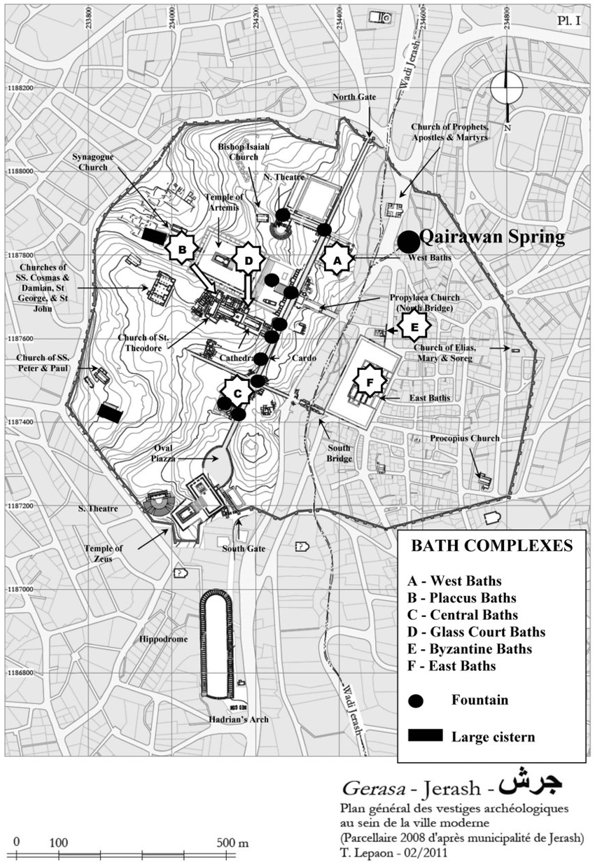
Figure 7